¶ unmanned helicopter (Fazer)
| Company | Yamaha |
| Country | Global |
| Website | https://www.yamaha-motor.com.au/products/sky/aerial-systems/fazer |
| Category | Planning & Inventory › Remote sensing & mapping |
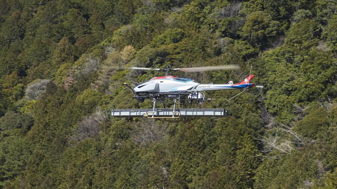
UAV platform as helicopter
¶ Overview
The Yamaha Fazer R and its predecessors in the RMAX/Fazer line are industrial-grade unmanned helicopter systems developed by Yamaha Motor Company that have found application in precision agriculture, forestry surveillance, and aerial spraying operations across Asia, Australia, and other markets. Unlike consumer multirotors, the Fazer R is a single-rotor gasoline-powered unmanned helicopter with a maximum take-off weight of approximately 94 kg, a payload capacity of up to 32 kg, and an endurance of around 90 minutes — specifications that make it substantially more capable than battery-powered multirotor UAVs for coverage-intensive tasks. Its gyroscopically stabilised rotor system and high-authority flight control system allow it to operate in wind conditions and at altitudes that would ground lighter UAVs, and its large rotor diameter provides the downwash penetration needed for effective canopy-level spraying. In forestry applications, the Fazer platform has been used for aerial application of herbicides for competing vegetation control in plantation establishment, targeted delivery of biological control agents such as Bacillus thuringiensis (Bt) for defoliating insect management, and fire retardant or water delivery in early-stage fire suppression support. Yamaha's long operational history with unmanned helicopters — dating to the RMAX introduced in 1997 — has resulted in a mature safety and maintenance ecosystem, with type-approval processes established in Japan and operational experience accumulated across thousands of flight hours in agricultural applications across South-East Asia and Australia. In Australia, Yamaha unmanned helicopters are operated by licensed agricultural aviation operators under CASA regulatory frameworks, with ReOC holders managing precision spray operations in softwood and hardwood plantation estates in Victoria, South Australia, and Tasmania. Integration with GNSS-based prescription mapping allows variable-rate application linked to pest or weed maps derived from UAV imagery or satellite data.
¶ Assessment
Offers moderate productivity support but strong safety benefits by removing pilots from low-altitude flight risk.
¶ Details
| Field | Value |
|---|---|
| Company | Yamaha |
| Country | Global |
| Type | Company |
| FWPA RD&E | 4.4 |