¶ UAV LiDAR module
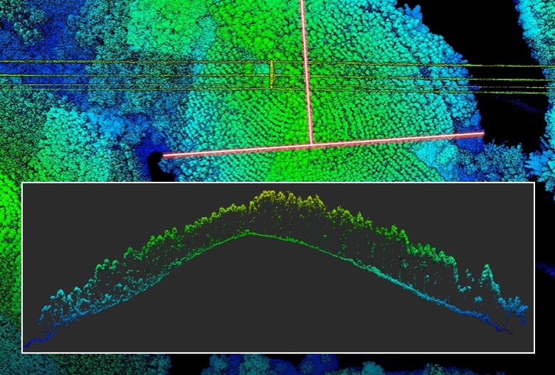
Description: The DJI Zenmuse L2 is an integrated aerial LiDAR mapping system used for high‑precision 3D surveying, forestry analysis, terrain modeling, and infrastructure mapping. It combines frame‑based LiDAR, a high‑accuracy IMU, and a 20 MP 4/3 CMOS RGB camera into a single drone‑mounted payload.
Category: Remote Sensing, Imaging & Analytics
FWPA RD&E: 7.3
¶ Details
| Company | Country | Type | Website | Available in Australia? | Year | Status | Remarks | TRL | Employees | Colour | Inventors | Patent Model. |
|---|---|---|---|---|---|---|---|---|---|---|---|---|
| DJI | China | Company | Link | yes | Orange |