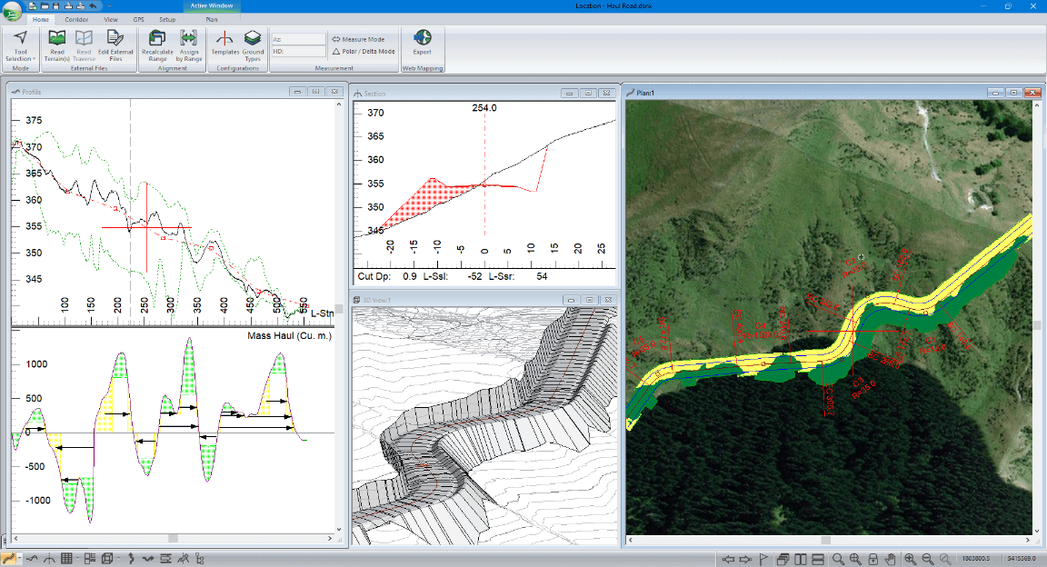
TerrainTools Forestry is a geospatial software platform designed for forest operations planning, providing tools for terrain analysis, harvest block delineation, road and extraction corridor design, and environmental constraint mapping within a GIS-integrated environment. The platform enables forestry planners and engineers to analyse digital elevation models (DEMs) derived from LiDAR surveys or photogrammetric point clouds to assess slope gradients, aspect, drainage patterns, and soil trafficability — information that directly informs decisions about machine type selection, extraction direction, and environmental buffer placement. Key functionality includes automated slope classification to identify areas where ground-based harvesting is feasible versus those requiring cable or aerial systems, stream network delineation for riparian buffer exclusion, and road gradient optimisation for log-truck access design. TerrainTools integrates with standard GIS formats (shapefiles, GeoTIFF, LAS/LAZ point clouds) and is used by harvesting planners to generate operational maps that comply with state-level Forest Practices Code requirements governing slope limits, watercourse protection zones, and machinery exclusion areas. In the Australian forestry context, where plantation and native forest operations must navigate complex regulatory overlays including threatened species exclusion zones, erosion-prone soils mapping, and heritage site buffers, terrain-aware planning tools reduce the risk of non-compliance and support more efficient layout of extraction networks. The software's ability to model machine performance against terrain parameters — including ground-pressure limits for soft or wet soils common in Tasmania's high-rainfall forests — is particularly valuable for pre-season planning and contractor briefings. As adoption of drone-based LiDAR surveys grows across Australian plantation estates, platforms like TerrainTools that can rapidly ingest and process high-resolution terrain data are becoming central to modern operational forestry planning workflows.
| Field |
Value |
| Company |
Softree |
| Type |
Company |
| FWPA RD&E |
7.3 |