¶ Stratification
| Company | USDA Forest Service |
| Country | USA |
| Website | https://www.arborday.org/perspectives/inside-high-tech-nursery-supporting-future-forests |
| Category | Nursery & Establishment › Remote sensing & mapping |
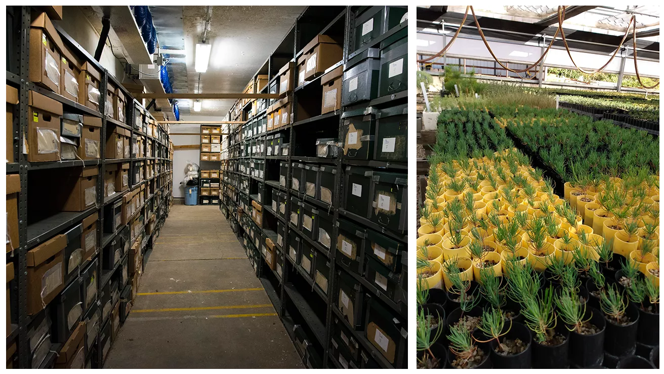
Mimics seasonal changes to prep seeds
¶ Overview
Stratification in forestry refers to the vertical layering of vegetation within a forest stand, describing the distinct horizontal zones of foliage and woody biomass that form as trees and understorey plants of different species, ages, and growth forms occupy different height classes. A fully developed multi-layered forest typically exhibits an overstorey of dominant and co-dominant canopy trees, a mid-storey of sub-canopy or suppressed tree species, a shrub layer, a ground layer of ferns and herbaceous plants, and a ground cover of mosses and leaf litter. Stratification has important ecological implications: it creates habitat complexity that supports a wider range of fauna, including birds, arboreal marsupials, and invertebrates that depend on specific structural niches such as hollow-bearing trees or dense mid-storey shrubs. In a silvicultural context, stratification is actively managed to achieve stand objectives; even-aged monoculture plantations have minimal stratification, whereas uneven-aged or mixed-species management systems aim to maintain or restore multiple strata to improve resilience, biodiversity outcomes, and aesthetics. Stratification is also a key concept in forest inventory and sampling design, where stands are stratified by attributes such as species composition, age class, site productivity, or disturbance history so that sampling effort can be allocated efficiently to reduce variance in volume or carbon estimates. In Australian native forest management — particularly in the tall, wet sclerophyll forests of Victoria and Tasmania dominated by mountain ash (Eucalyptus regnans) — stratification is closely monitored because the dense fern understorey and mid-storey wattle layer influence fire behaviour, regeneration dynamics, and habitat for threatened species such as Leadbeater's possum. Remote sensing techniques, including airborne LiDAR and full-waveform analysis, now allow stratification to be mapped and quantified at landscape scales, supporting both conservation planning and operational forestry decisions.
¶ Details
| Field | Value |
|---|---|
| Company | USDA Forest Service |
| Country | USA |
| Type | Company |
| FWPA RD&E | 9.0 |