¶ SKYLAB remote sensing & AI for forest health monitoring
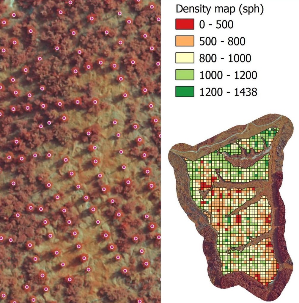
Description: Skylab (Skylab aerial vegetation mapping GmbH) is a German company that uses Artificial Intelligence (AI) and aerial data (drones, planes, satellites) to digitize forest management. They analyse forest health, count seedlings and trees, map weed density, and provide data for inventorying and harvesting, aiming to increase efficiency and sustainability.
Key services and applications include:
Seedling Counter: Employs AI to analyse drone images for automatic, precise counting of seedlings, differentiating them from weeds, and assessing survival rates and vitality.
Forest Health Monitoring: Uses multispectral cameras on drones to detect stressed or diseased trees (e.g., bark beetle infestation) before they are visible to the human eye.
Weed Mapping: Creates detailed maps of competing vegetation, allowing foresters to apply herbicides only where necessary.
Digital Inventory: Provides precise data for modeling stock, monitoring forest growth, and optimizing harvesting processes.
SKYLABcloud: A platform where customers can upload, process, and map data from their forests without needing prior GIS knowledge.
Category: Environmental Monitoring & Pest Detection
FWPA RD&E: 7.4
¶ Details
| Company | Country | Type | Website | Available in Australia? | Year | Status | Remarks | TRL | Employees | Colour | Inventors | Patent Model. |
|---|---|---|---|---|---|---|---|---|---|---|---|---|
| Skylab | Company | Link | Green |