¶ Search & rescue under the forest canopy using multiple UAVs
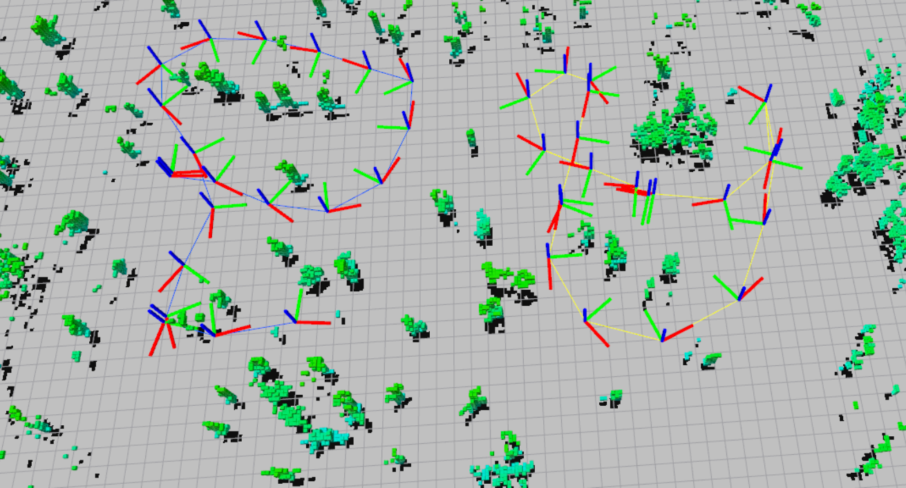
Description: Multi UAV system for GPS-denied search and rescue under the forest canopy. Forests are particularly
challenging environments for collaborative exploration and mapping, in large part due to the existence of severe
perceptual aliasing which hinders reliable loop closure detection for mutual localization and map fusion. Our proposed
system features unmanned aerial vehicles (UAVs) that perform onboard sensing, estimation, and planning. When
communication is available, each UAV transmits compressed tree-based submaps to a central ground station for
collaborative simultaneous localization and mapping (CSLAM). To overcome high measurement noise and perceptual
aliasing, we use the local configuration of a group of trees as a distinctive feature for robust loop closure detection.
Furthermore, we propose a novel procedure based on cycle consistent multiway matching to recover from incorrect
pairwise data associations. The returned global data association is guaranteed to be cycle consistent, and is shown
to improve both precision and recall compared to the input pairwise associations. The proposed multi-UAV system is
validated both in simulation and during real-world collaborative exploration missions at NASA Langley Research Centre.
Snapshot: 0
Category: Remote Sensing, Imaging & Analytics
¶ Details
| Company | Country | Type | Website | Available in Australia? | Year | Status | Remarks | TRL | Employees | Colour | Inventors | Patent Model. |
|---|---|---|---|---|---|---|---|---|---|---|---|---|
| Tian et al. | Massachusetts Institute of Technology, USA | Paper | Link | 2019 | Red |