¶ PosTex Laser for geolocating trees
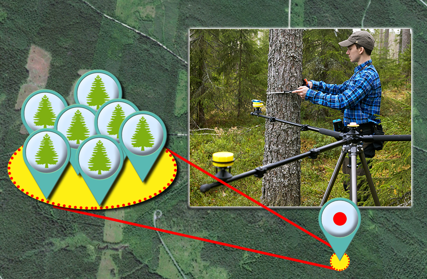
Description: The Posted system is a field instrument used to accurately position individual trees or objects within forest sample plots. It is widely used in forestry, ecological studies, and research requiring ground‑truth spatial data. The PosTex system:
Uses ultrasound (and in some models, laser) to measure distances.
Determines the coordinates of trees relative to the plot centre.
Enables accurate “ground-truth” data that complements aerial LiDAR and other remote sensing surveys.
Category: Remote Sensing, Imaging & Analytics
FWPA RD&E: 8.4
¶ Details
| Company | Country | Type | Website | Available in Australia? | Year | Status | Remarks | TRL | Employees | Colour | Inventors | Patent Model. |
|---|---|---|---|---|---|---|---|---|---|---|---|---|
| Haglof | Sweden | Company | Link | Orange |