¶ PlotSafe
| Website | https://interpine.nz/plotsafe/ |
| Category | Planning & Inventory › Remote sensing & mapping |
measurement and monitoring tools
¶ Overview
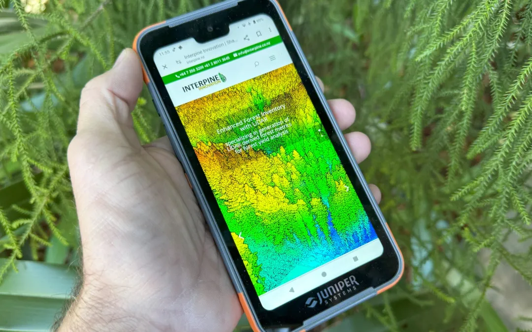
PlotSafe is a field data collection and plot management software system used in forestry inventory and research to record, manage, and analyse measurements taken from sample plots within a forest or plantation estate. The software is designed to run on ruggedised field devices — such as tablets or data collectors — allowing inventory crews to enter tree measurements, plot observations, and site data directly in the field rather than on paper tally sheets, with data then synchronised to a central database for analysis and reporting. PlotSafe typically supports a range of plot types including permanent sample plots (PSPs), temporary sample plots (TSPs), and growth and yield monitoring installations, capturing measurements such as tree diameter at breast height (DBH), height, species, form class, health status, and mortality. By enforcing data validation rules at the point of entry, PlotSafe reduces transcription errors and ensures that measurements conform to the prescribed inventory protocol, improving the reliability of the volume and growth estimates derived from the plot data. In the Australian plantation forestry context, accurate inventory data underpins wood supply forecasting, harvest scheduling, and carbon accounting, making reliable field data systems critically important for estate managers. PlotSafe or equivalent tools are used by plantation companies and government forest agencies across Australia to manage the inventory of softwood and hardwood estates, feeding data into growth models and decision support systems used for long-term planning. The software also supports audit and certification requirements, providing a traceable record of when and how measurements were taken. As plantation forestry increasingly integrates remote sensing — including airborne LiDAR and drone-based canopy analysis — field plot data captured in systems like PlotSafe serves as the ground-truth dataset used to calibrate and validate remotely-sensed inventory estimates across the broader estate.
¶ Assessment
Streamlines permanent plot measurments, improving decision making. Digital data reduces clerical errors and imporves traceability.