¶ PlanIT
| Company | Integral |
| Country | New Zealand |
| Website | https://integral.co.nz/plantit/ |
| Category | Planning & Inventory › Remote sensing & mapping |
tree tracking and management
¶ Overview
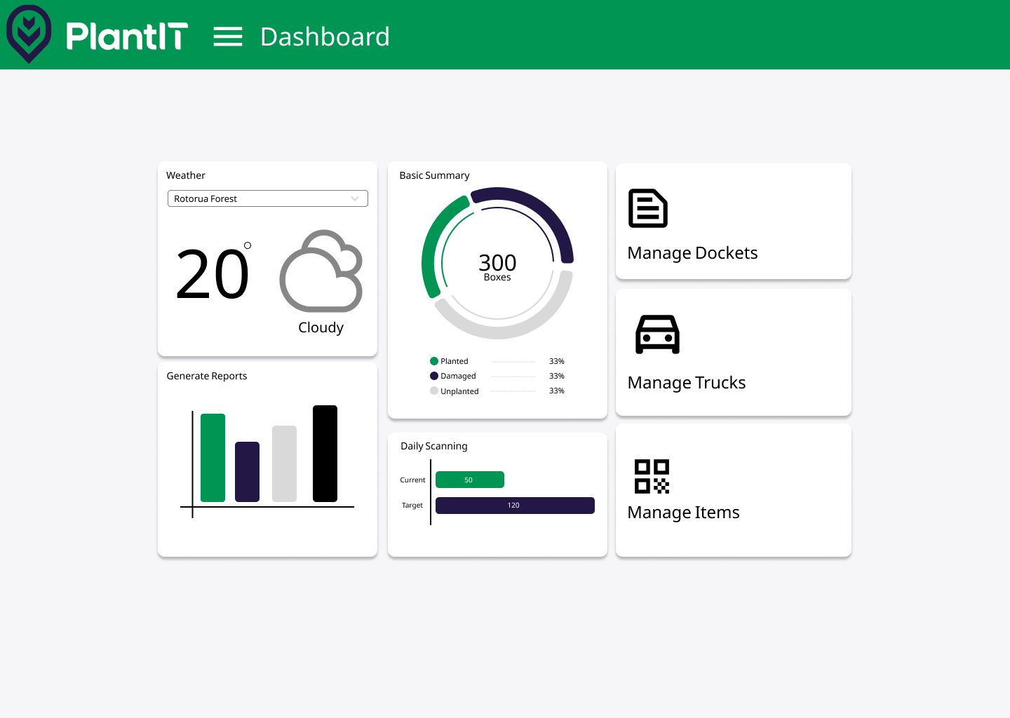
PlanIT is a forestry planning and information management system designed to support the integrated scheduling and coordination of plantation establishment and silvicultural operations. The platform provides a structured environment for managing the full workflow from post-harvest coupe assessment through to planting completion and early establishment monitoring, bringing together spatial data, operational records, resource schedules, and compliance documentation into a single accessible interface. PlanIT enables planners to assign planting coupes to crews and contractors, track seedling supply requirements against nursery production schedules, record site preparation activities such as herbicide application and mechanical cultivation, and monitor planting progress against targets in near-real time as field data is entered by supervisors or automatically captured from connected equipment. The system generates operational reporting outputs that support both internal management review and external compliance reporting to regulatory bodies and certification auditors. In the Australian plantation forestry context, where operations are often managed across large and geographically dispersed estates by organisations with multiple contractor relationships, a coordination platform like PlanIT is essential for maintaining the operational visibility needed to respond to weather delays, seedling shortages, or equipment breakdowns without losing the momentum of the planting season. PlanIT may interface with nursery management systems to pull seedling batch availability data, with GIS platforms to display spatial progress of planting activities, and with financial management systems to track expenditure against establishment budgets. As precision forestry practices mature in Australia, systems like PlanIT are evolving to incorporate prescription-based planting management, where site-specific silvicultural prescriptions generated from remote sensing and soil data are delivered directly to field crews through the platform's mobile interfaces, reducing the administrative burden of translating planning decisions into operational instructions.
¶ Assessment
An effective planning tool that reduces ecoModelmic and supply-chain risks through scenario testing and optimisation.
¶ Details
| Field | Value |
|---|---|
| Company | Integral |
| Country | New Zealand |
| Type | Company |
| Available in AU? | yes |
| FWPA RD&E | 4.5 |