¶ Planet Labs satellite imagery
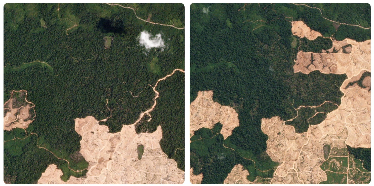
Description: Planet Labs provides high-frequency satellite imagery and AI-powered analytics to monitor forest health, track carbon stocks, and detect illegal deforestation in near-real-time. Their tools help managers optimize harvesting, assess wildfire risks, and verify sustainability compliance.
Key Functions of Planet in Forestry:
Forest Monitoring & Protection: Planet uses daily, high-resolution imagery (PlanetScope) to detect changes like tree cover loss, road construction, and land-use shifts.
Forest Carbon Monitoring: The system provides data on aboveground carbon, tree height, and canopy cover to support carbon markets and climate goals.
Sustainable Management: Operators use this data to verify forest management practices, monitor regrowth, and assess damage from pests or natural disasters.
Deforestation Detection: Through their Tropical Forest Observatory, they assist in identifying illegal logging, supporting organizations with data to protect high-risk tropical forests.
Wildfire Preparedness: Regular monitoring allows for the evaluation of forest fuel loads and vegetation health to better prepare for fire risks.
Category: Remote Sensing, Imaging & Analytics
FWPA RD&E: 7.4
¶ Details
| Company | Country | Type | Website | Available in Australia? | Year | Status | Remarks | TRL | Employees | Colour | Inventors | Patent Model. |
|---|---|---|---|---|---|---|---|---|---|---|---|---|
| Planet Labs | Company | Link | Orange |