¶ Pixxel hyperspectral satellite imaging
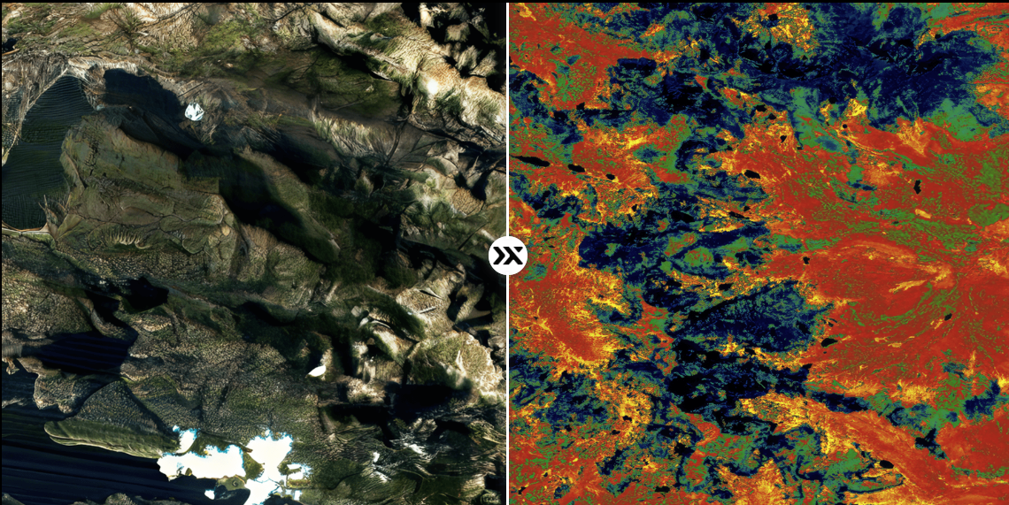
Description: Pixxel uses its high‑resolution hyperspectral satellite constellation to provide advanced forest monitoring, species classification, biomass estimation, and early detection of forest health issues. Their hyperspectral data captures hundreds of narrow spectral bands, allowing forest managers to see changes and stress signals invisible to traditional satellite imagery.
Category: Remote Sensing, Imaging & Analytics
FWPA RD&E: 7.4
¶ Details
| Company | Country | Type | Website | Available in Australia? | Year | Status | Remarks | TRL | Employees | Colour | Inventors | Patent Model. |
|---|---|---|---|---|---|---|---|---|---|---|---|---|
| Pixxel | Company | [Link](Pixxel | Hyperspectral Imaging for Earth Observation) | Orange |