¶ Multiscan photogrammetry & LiDAR forestry scan
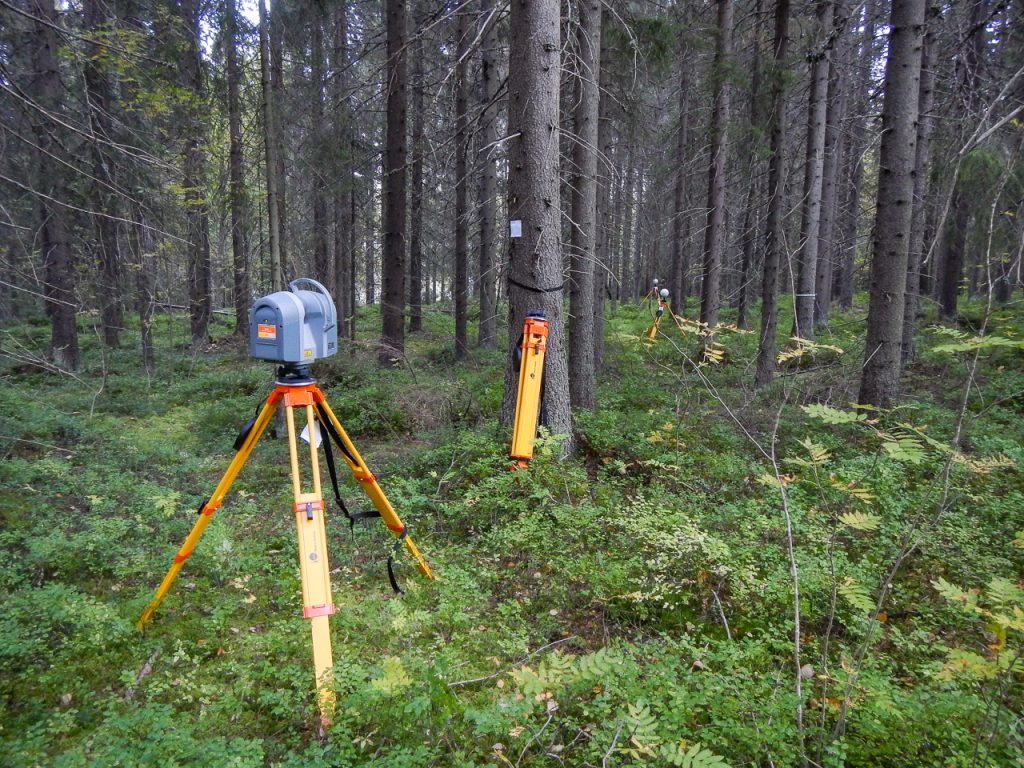
Description: Multiscan enhance forest management with our drone-powered forestry surveys. We use high-resolution imagery and LiDAR to map canopy structure, assess tree health, and estimate biomass. Our data supports sustainable forestry, biodiversity and carbon credit programs, and environmental monitoring.
Category: Remote Sensing, Imaging & Analytics
FWPA RD&E: 7.4
¶ Details
| Company | Country | Type | Website | Available in Australia? | Year | Status | Remarks | TRL | Employees | Colour | Inventors | Patent Model. |
|---|---|---|---|---|---|---|---|---|---|---|---|---|
| Multi Scan | Company | Link | Orange |