¶ LiDAR survey processing software
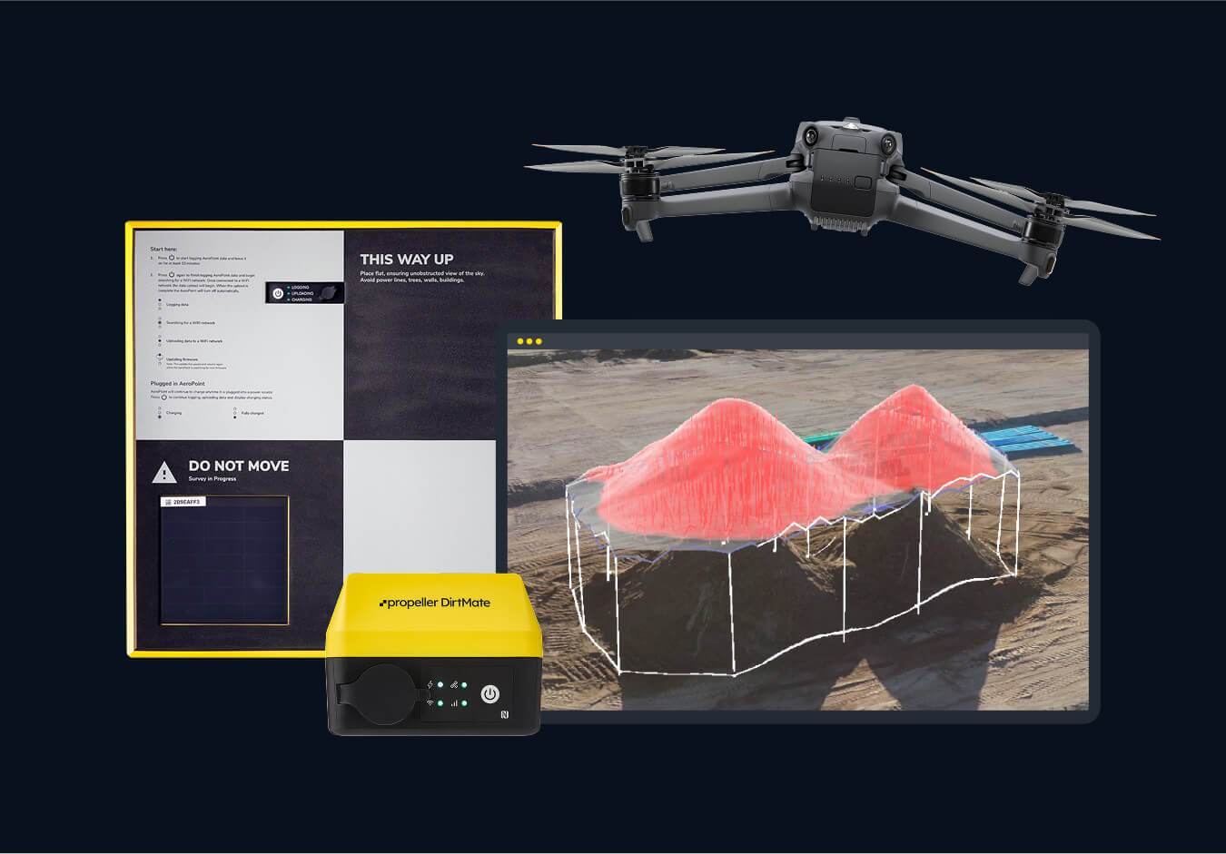
Description: Propeller Aero provides a cloud-based 3D drone mapping and analytics platform for construction, mining, and quarrying, enabling high-precision, actionable site data. They provide an end-to-end solution—using drones and proprietary ground control sensors (AeroPoints) to calculate volumes, map sites, track progress, and compare as-builts against designs.
Key capabilities and services:
3D Drone Surveying & Mapping: Uses drones to capture high-accuracy aerial data, which is processed into 3D models.
AeroPoints: Smart, rugged ground control points that sync with drone data for high accuracy.
Volumetrics & Stockpiles: Allows rapid calculation of stockpile and pit volumes, reducing inventory measurement time.
Progress Tracking: Enables comparison of daily/weekly site surveys against design plans to track progress.
Platform & Tools: Propeller Platform allows teams to visualize sites, take measurements, and collaborate in real-time.
Integrations: Integrates with Autodesk tools like Civil 3D and Autodesk Construction Cloud
Category: Remote Sensing, Imaging & Analytics
FWPA RD&E: 7.3
¶ Details
| Company | Country | Type | Website | Available in Australia? | Year | Status | Remarks | TRL | Employees | Colour | Inventors | Patent Model. |
|---|---|---|---|---|---|---|---|---|---|---|---|---|
| Propeller Aero | Australia | Company | Link | yes | Red |