¶ large scale digital twin using landsat 7
| Authors | Jiang et al. |
| Country | Cornell University |
| Paper (PDF) | View paper |
| Category | Planning & Inventory › Remote sensing & mapping |
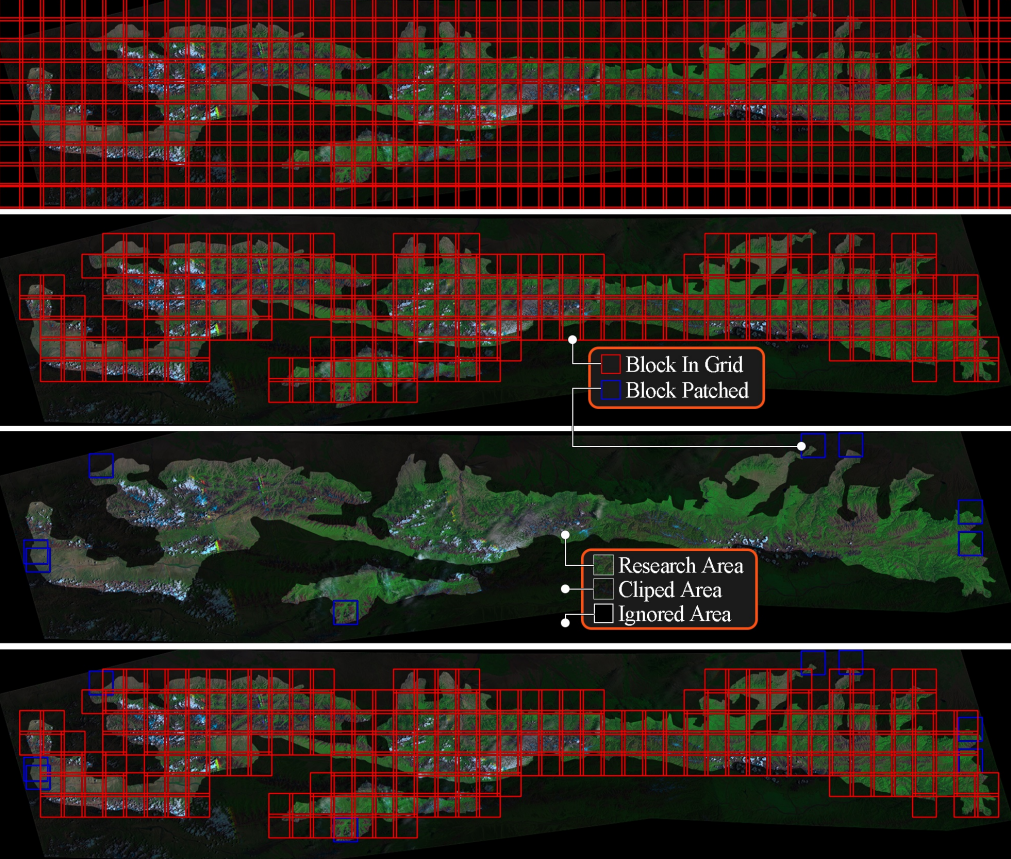
prediciton of future rgb bands
¶ Overview
A large-scale digital twin using Landsat 7 refers to the construction of a continuously updated virtual representation of a forest landscape at regional or national scale, using multi-temporal satellite imagery from the Landsat 7 satellite mission as a primary data source for capturing surface reflectance, vegetation indices, and land cover change over time. Landsat 7, operated by the United States Geological Survey (USGS) and NASA, provides 30-metre resolution multispectral imagery across seven spectral bands, with a 16-day repeat cycle that enables time-series analysis of forest condition, disturbance events, and regeneration dynamics. In the forestry digital twin context, Landsat 7 imagery is processed through cloud-computing platforms such as Google Earth Engine or AWS to derive indices including NDVI (Normalised Difference Vegetation Index), NBR (Normalised Burn Ratio), and tasselled cap transformation products, which are then integrated with terrain models, inventory data, and operational records to create a spatially explicit model of the forest system. While Landsat 7's scan line corrector failure in 2003 introduced data gaps in post-2003 imagery, its long archive dating back to 1999 makes it uniquely valuable for historical change detection and calibrating more recent sensors such as Landsat 8, Sentinel-2, and commercial satellite constellations. In Australian forestry applications, large-scale Landsat-based digital twins have been developed to monitor plantation growth trajectories across the softwood and hardwood estates of NSW and Victoria, detect illegal clearing in native forest buffers, and track post-fire recovery in conservation-adjacent plantation zones. Research collaborations between the Australian National University, CSIRO, and state forestry agencies have demonstrated that multi-decadal Landsat time series can accurately characterise harvest rotation patterns and predict stand volume with sufficient precision to support national greenhouse gas reporting obligations. As the digital twin concept matures, Landsat 7 data layers provide foundational historical context that anchors higher-resolution contemporary data streams within a coherent, long-term spatial modelling framework.
¶ Details
| Field | Value |
|---|---|
| Company | Jiang et al. |
| Country | Cornell University |
| Type | Paper |
| Year | 2022 |
| FWPA RD&E | 7.3 |