¶ Imagery
| Company | Planet Labs |
| Website | https://www.planet.com/industries/forestry/ |
| Category | Planning & Inventory › Remote sensing & mapping |
Hi Cadence imagery
¶ Overview
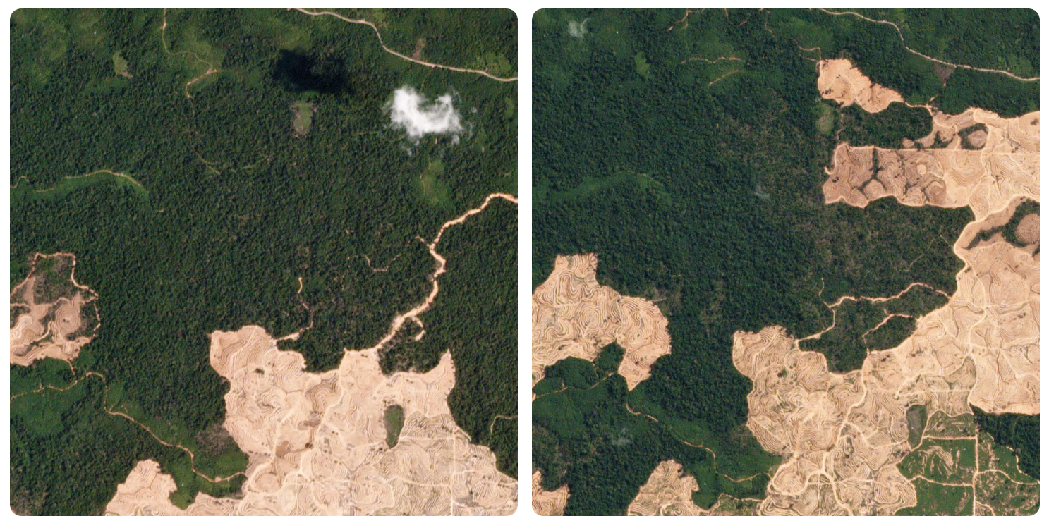
Imagery in the context of forestry automation and management refers to the broad category of spatially referenced visual or electromagnetic data captured by cameras and sensors mounted on satellite, airborne, or ground-based platforms, used to observe, measure, and interpret forest structure, condition, extent, and change over time. Forestry imagery encompasses a wide spectral range — from standard red-green-blue (RGB) visible-light photography through multispectral (capturing discrete bands including near-infrared), hyperspectral (capturing hundreds of contiguous spectral bands), and thermal infrared imagery — each providing different information about vegetation health, species composition, moisture status, and thermal properties. Satellite imagery from platforms including Landsat, Sentinel-2, SPOT, WorldView, and Planet Dove constellations provides repeat-coverage datasets at spatial resolutions ranging from 3 metres to 30 metres, enabling landscape-scale change detection, deforestation monitoring, and seasonal phenology tracking. High-resolution airborne imagery from manned aircraft or large drones — including oblique and nadir photography — supports detailed stand-level interpretation, photogrammetric canopy height model generation through structure-from-motion (SfM) processing, and individual tree crown delineation. Close-range drone imagery is increasingly used operationally in Australian forestry for post-harvest regeneration assessment, plantation stocking surveys, road condition inspection, and wildfire damage mapping. Imagery data underpins a wide range of analytical products including forest type maps, canopy cover and height models, disturbance detection layers, species distribution models, and biomass estimates. The management and processing of large imagery datasets requires specialised geospatial platforms such as ESRI ArcGIS, QGIS, Google Earth Engine, and cloud-based processing services, and the integration of artificial intelligence and machine learning into imagery analysis workflows is rapidly increasing the speed and scalability of interpretation tasks across Australian and global forest estates.
¶ Assessment
Improves operational oversight and helps detect disturbances or illegal logging early, reducing strategic and safety risks.
¶ Details
| Field | Value |
|---|---|
| Company | Planet Labs |
| Type | Company |
| FWPA RD&E | 7.4 |