¶ Search and Rescue under the Forest Canopy using Multiple UAVs
| Authors | Tian et al. |
| Country | Massachusetts Institute of Technology, USA |
| Paper (PDF) | View paper |
| Category | Planning & Inventory › Remote sensing & mapping |
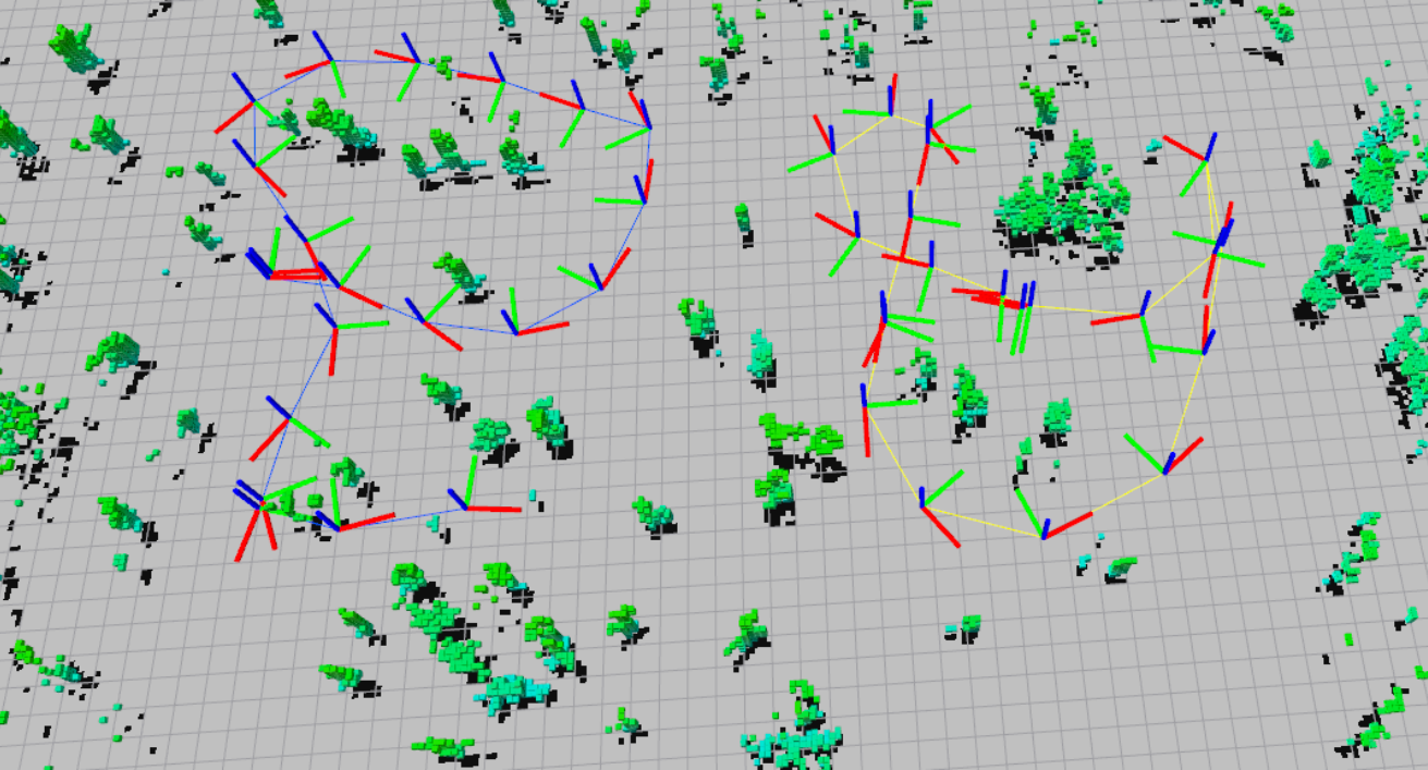
system detecting trees and navigating around them. Tested in the forest
0
¶ Overview
Search and rescue (SAR) operations in forested environments are among the most logistically demanding emergency scenarios, as dense canopy cover conceals casualties from aerial observation, degrades GPS signals, and limits radio communications, while rough terrain slows ground teams. Deploying multiple unmanned aerial vehicles (UAVs) as a coordinated swarm offers a compelling solution: small, agile drones can fly beneath the forest canopy, navigate between trees using onboard sensors, and systematically cover search areas far faster than human crews. Multi-UAV SAR systems typically rely on a combination of technologies: simultaneous localisation and mapping (SLAM) algorithms that build a real-time 3D map of the sub-canopy environment without GPS; mesh radio networking that allows drones to relay communications to one another and back to a surface control station; thermal infrared cameras to detect the heat signature of a human body against the cooler forest floor; and autonomous path-planning algorithms that divide the search area among the swarm and reassign tasks dynamically as individual drones complete sweeps or return to recharge. Collision avoidance between swarm members and with trees is handled through onboard depth cameras, ultrasonic sensors, or event cameras capable of operating in low-light understorey conditions. Research groups and emergency management agencies are increasingly prototyping these systems for real-world deployment; European and North American SAR organisations have conducted field trials in boreal and temperate forests. In Australia, where bushwalkers and trail runners are frequently reported missing in the forested mountain ranges of the Great Dividing Range, Blue Mountains, and Tasmania's wilderness, multi-UAV sub-canopy SAR technology has clear operational relevance, and organisations such as BSAR (Bushwalking SAR) and state police SAR units are following its development closely.
¶ Details
| Field | Value |
|---|---|
| Company | Tian et al. |
| Country | Massachusetts Institute of Technology, USA |
| Type | Paper |
| Year | 2019 |