¶ Mapping forests using RS
| Company | Dragonfly Data Science |
| Country | New Zealand |
| Website | https://www.dragonfly.co.nz/ |
| Category | Planning & Inventory › Remote sensing & mapping |
¶ Overview
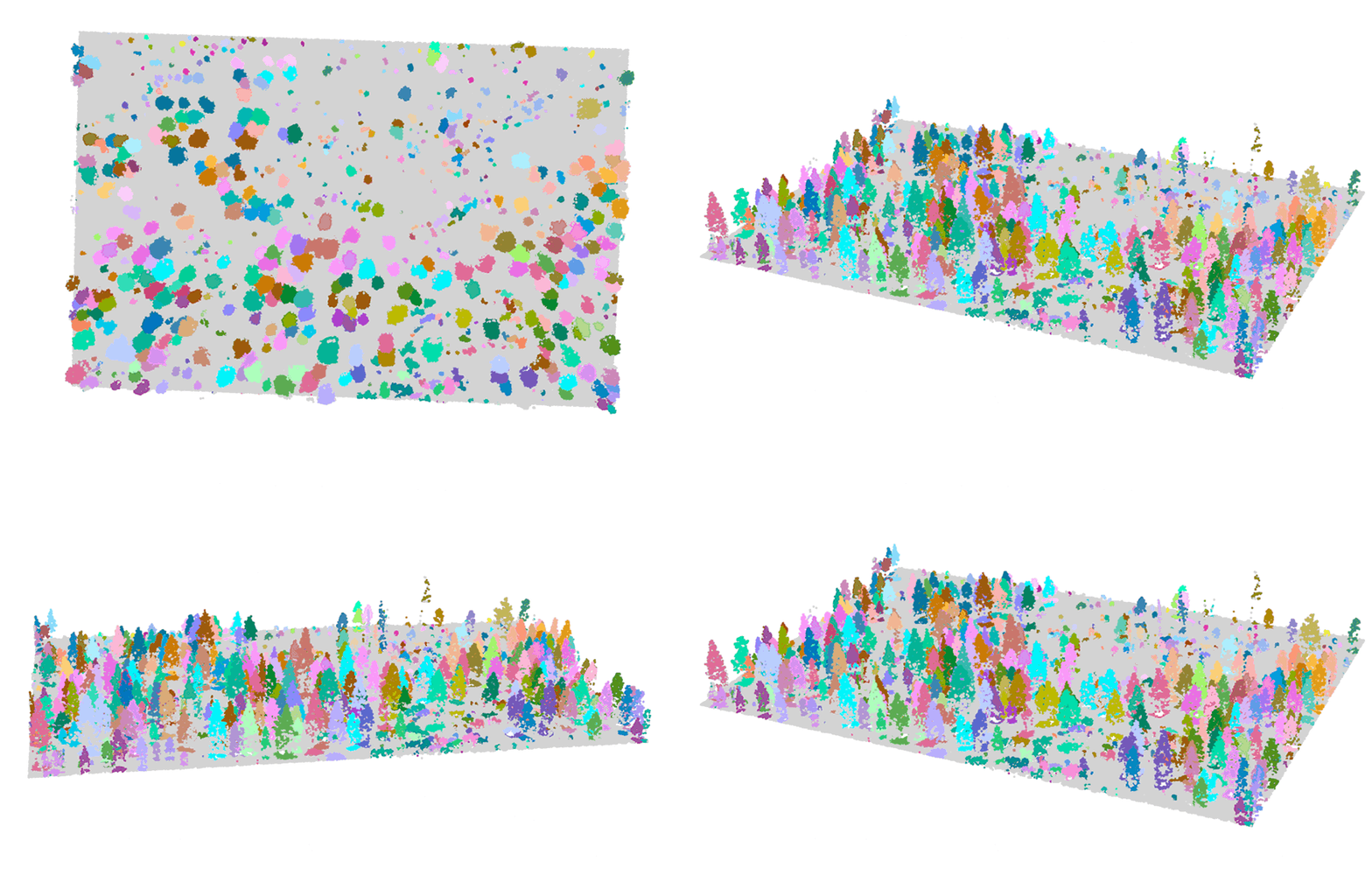
Remote sensing (RS) refers to the acquisition of information about the Earth's surface without direct physical contact, and its application to forest mapping has transformed the scale, frequency, and accuracy with which forest extent, structure, composition, and condition can be assessed. The principal remote sensing technologies used in forestry include passive optical sensors on satellites (such as Landsat, Sentinel-2, and SPOT), active radar systems (Synthetic Aperture Radar, SAR), and airborne or space-borne LiDAR (Light Detection and Ranging) instruments. Each technology captures different aspects of forest biophysical properties: optical sensors detect canopy reflectance patterns that enable species classification and health assessment; SAR penetrates cloud cover and can estimate above-ground biomass through backscatter signal analysis; and LiDAR produces precise three-dimensional point clouds of canopy structure from which tree height, crown area, basal area, and volume can be derived with high accuracy. In Australia, remote sensing has become a foundational tool for both commercial plantation management and native forest monitoring. The Australian Government's National Forest Inventory and state-level forest monitoring programs use multi-temporal Landsat and Sentinel imagery to map forest extent and detect disturbances including harvesting, fire, and dieback. For commercial plantation managers, airborne LiDAR surveys enable stand-level volume estimates and are increasingly used to generate inputs for growth modelling and harvest scheduling systems. Emerging developments include the integration of satellite-derived forest carbon maps into Australian carbon credit methodologies under the Emissions Reduction Fund, and the use of deep learning algorithms to automate species mapping and health assessment from high-resolution multispectral and hyperspectral imagery, dramatically reducing the time required to produce operationally relevant forest resource information.
¶ Assessment
Enhances management decisions and monitoring accuracy, with strong risk-mitigation benefits relating to compliance, health, and environmental oversight.
¶ Details
| Field | Value |
|---|---|
| Company | Dragonfly Data Science |
| Country | New Zealand |
| Type | Company |
| FWPA RD&E | 7.3 |
| Case Studies | https://www.dragonfly.co.nz/news/2024-08-28-forest-mapping.html |