¶ LiDAR Scanners and Data Processing Software
| Company | GreenValley International |
| Country | USA |
| Website | https://www.greenvalleyintl.com/forestry/ |
| Category | Planning & Inventory › Remote sensing & mapping |
¶ Overview
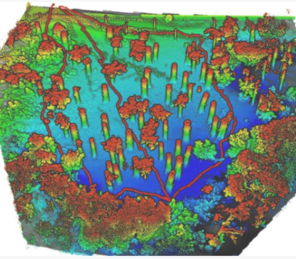
LiDAR scanners and their associated data processing software together form the complete technological pipeline for three-dimensional forest measurement, encompassing both the hardware that acquires spatial data and the software systems that transform that data into forestry inventory and planning products. On the hardware side, the LiDAR scanner market for forestry encompasses airborne systems from manufacturers including Riegl (Austria), Leica Geosystems, and Trimble, which produce full-waveform and discrete-return sensors capable of acquiring hundreds of thousands of points per second during aerial surveys. Terrestrial and mobile laser scanning systems from the same manufacturers, as well as specialist providers such as FARO and Zebedee (CSIRO spin-off Z+F), allow ground-level scanning for individual tree and plot-level measurements. UAV-integrated LiDAR scanners — including systems from Yellowscan, Riegl miniVUX, and DJI's Zenmuse L-series — have democratised access to moderate-resolution airborne point clouds for smaller operators and research groups. On the software side, the processing workflow moves from raw point cloud management through classification, normalisation, and feature extraction to final GIS-ready products, using platforms such as Terrasolid, LAStools, lidR, PDAL, and vendor-specific software provided by scanner manufacturers. The integration between scanner hardware and software has become increasingly seamless, with modern systems offering onboard georeferencing using IMU and GNSS data that reduces post-processing time significantly. In the Australian context, the pairing of Riegl or Leica airborne scanners with processing pipelines run on cloud infrastructure has enabled Forestry Corporation NSW and state forest agencies to conduct routine pre-harvest LiDAR inventory across millions of hectares of plantation estate, replacing expensive and less precise traditional cruising methods. Standardisation efforts, including the LAS file format specification maintained by the American Society for Photogrammetry and Remote Sensing (ASPRS), ensure interoperability between scanners and processing software across the supply chain.
¶ Assessment
A strong mapping solution that speeds up data collection and improves hazard and terrain awareness, providing clear operational risk-reduction benefits.
¶ Details
| Field | Value |
|---|---|
| Company | GreenValley International |
| Country | USA |
| Type | Company |
| Available in AU? | yes, dealer in Melbourne |
| FWPA RD&E | 7.3 |
| Case Studies | https://www.greenvalleyintl.com/list_155/410.html |