¶ LiDAR inventories
| Company | Arbonaut |
| Country | Finland |
| Website | https://arbonaut.com/services/forest-ecosystem-inventories |
| Category | Planning & Inventory › Remote sensing & mapping |
¶ Overview
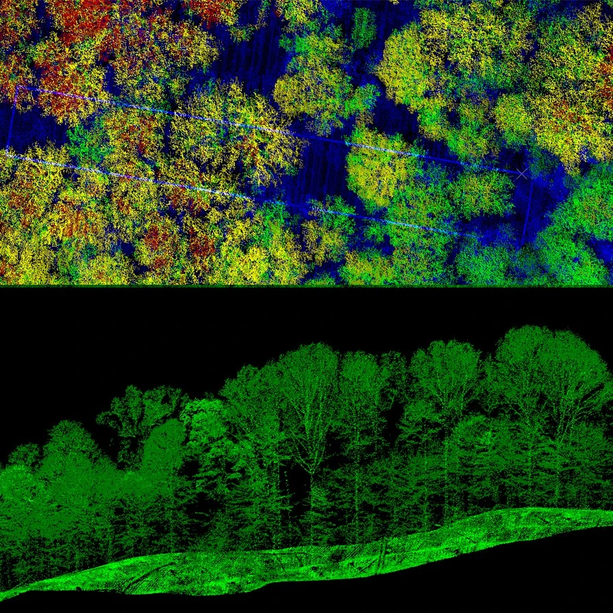
LiDAR (Light Detection and Ranging) forest inventories use pulsed laser scanning — delivered from airborne platforms, UAVs, or ground-based tripods — to generate dense three-dimensional point clouds of forest structure with centimetre-to-decimetre accuracy. By measuring the time of flight of millions of laser pulses as they interact with canopy layers, stems, and ground, LiDAR systems can derive a comprehensive suite of forest attributes including canopy height, basal area, stem density, above-ground biomass, crown volume, and digital terrain models beneath dense vegetation where optical imagery is blind. Airborne LiDAR surveys (ALS) are the most operationally mature form, widely used by state forestry agencies and private timber companies to replace or augment traditional ground-based plot sampling; a single flight can characterise thousands of hectares in hours at a per-hectare cost that has fallen dramatically as sensor and platform costs have dropped. Terrestrial LiDAR scanning (TLS) and mobile laser scanning (MLS) complement ALS by providing fine-scale stem diameter, taper, and branch architecture data at the stand level, enabling highly accurate individual-tree volume estimates without manual measurement. UAV-borne LiDAR has emerged as a particularly flexible tool for smaller operational areas and repeat surveys, combining the vertical penetration of full-waveform or multi-return scanning with the agility of drone platforms. In Australian forestry, LiDAR inventories are now routine across both softwood plantation estates (e.g., Radiata pine in Victoria and South Australia) and native hardwood coupes in Tasmania and Queensland, supporting harvest planning, carbon accounting under the Emissions Reduction Fund, and biodiversity assessment. Integration of LiDAR-derived metrics with machine learning models has further improved the accuracy of timber volume and quality predictions, reducing the need for expensive manual cruising and enabling more frequent, wall-to-wall inventory updates across large and complex landscapes.
¶ Assessment
Provides reliable productivity benefits through accurate LiDAR-based inventory, but its risk-reduction value remains modest since broader hazards (fire, climate, pests) are not addressed.
¶ Details
| Field | Value |
|---|---|
| Company | Arbonaut |
| Country | Finland |
| Type | Company |
| Available in AU? | yes |
| Employees | MW Group is majority owner since 2022 |
| FWPA RD&E | 7.3 |