¶ Lidar
| Company | RIEGL |
| Website | https://www.riegl.com.au/ |
| Category | Planning & Inventory › Remote sensing & mapping |
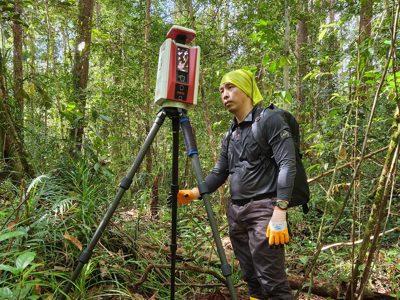
used for forest inventory, terrain models, canopy metrics, planting QC, harvest planning.
¶ Overview
LiDAR (Light Detection and Ranging) is an active remote sensing technology that measures distances by emitting rapid pulses of laser light and recording the time-of-flight of the returned signal, enabling the construction of highly accurate three-dimensional point clouds of the surveyed environment. In forestry applications, LiDAR has become the most powerful tool available for characterising forest structure at scales ranging from individual tree crowns to entire management regions. Airborne LiDAR systems mounted on fixed-wing aircraft or helicopters can survey thousands of hectares per day, with discrete-return or full-waveform sensors capturing multiple returns per pulse as the laser beam penetrates the canopy through gaps, providing simultaneous information about canopy height, canopy cover, understory structure, and ground elevation. From these point clouds, foresters derive key metrics including Lorey's height, canopy cover fraction, leaf area index (LAI), and — through statistical modelling calibrated with field plots — estimates of standing volume, basal area, and above-ground biomass. In Australian plantation forestry, airborne LiDAR surveys have become standard practice for pre-harvest inventory in softwood estates managed by Forestry Corporation NSW, Hancock Victorian Plantations, and Forico in Tasmania, replacing or significantly reducing the need for labour-intensive ground-based plot sampling. Terrestrial LiDAR (TLS) and mobile LiDAR systems are increasingly used at the individual tree or plot scale to measure stem form, taper, and branch architecture with millimetre precision, supporting research into wood quality prediction and bucking optimisation. UAV-mounted LiDAR systems have extended the technology's accessibility, allowing plantation managers to conduct targeted surveys of small compartments or damaged areas at relatively low cost. LiDAR data also forms the backbone of high-resolution Digital Terrain Models (DTMs) used for haul road planning, drainage design, and erosion risk assessment across plantation estates, making it a foundational technology for both operational forestry and environmental management.
¶ Assessment
Enables better terrain data and models, canopy metrics, stocking assessment and improves hazard identification.
¶ Details
| Field | Value |
|---|---|
| Company | RIEGL |
| Type | Company |
| Available in AU? | y |