¶ KM Forestry Services forestry monitoring
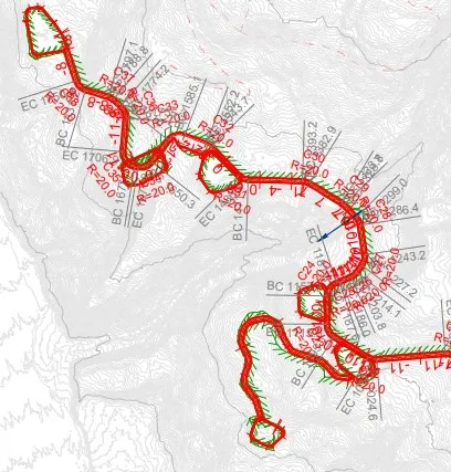
Description: KM Forestry Services Limited provides specialized, technology-driven forest management solutions in New Zealand. They focus on precise harvest planning, detailed mapping, and aerial surveying using UAV (drone) technology, GPS, and LiDAR to ensure sustainable, efficient forest operations, according to KM Forestry Services Limited.
Core Services Provided:
Harvest Planning: Development of precise, sustainable harvesting strategies using tools like RoadEng® and ArcGIS® Pro, say KM Forestry Services Limited.
Map Designs: Production of detailed maps for forest management using LiDAR, Trimble, and UAV technology, as shown on KM Forestry Services Limited.
UAV Solutions: Utilization of drones to gather precise data for monitoring, mapping, and inventory management, as outlined on KM Forestry Services Limited.
Forest Monitoring: Ongoing monitoring using GPS and drones to support sustainable practices.
Category: Forest Modelling, Planning & Decision Support
FWPA RD&E: 7.3
¶ Details
| Company | Country | Type | Website | Available in Australia? | Year | Status | Remarks | TRL | Employees | Colour | Inventors | Patent Model. |
|---|---|---|---|---|---|---|---|---|---|---|---|---|
| KM Forestry | New Zealand | Company | Link | Orange |