¶ KATAM digital services for forestry
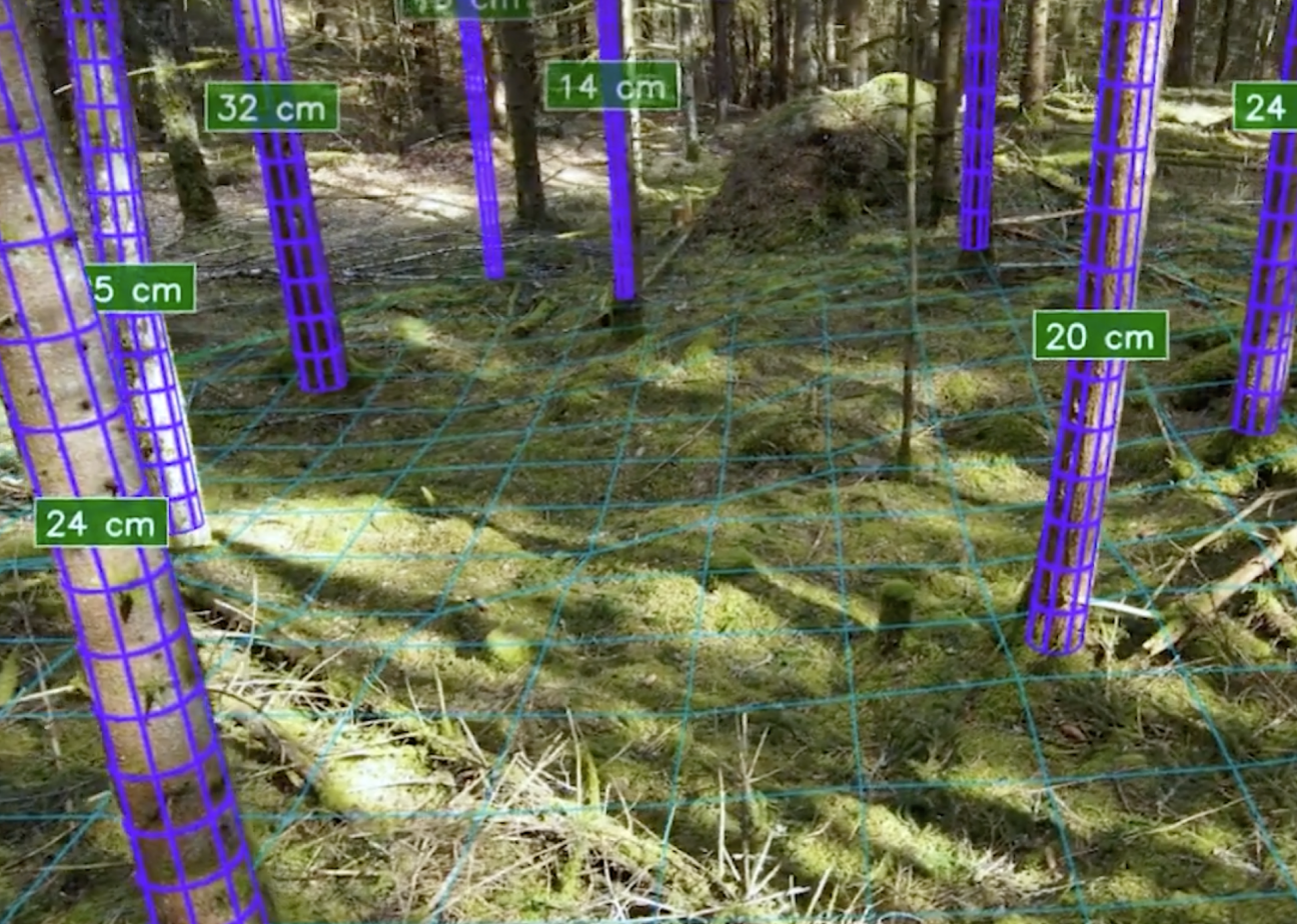
Description: Katam provides tools to measure tree height, diameter, density, and spatial distribution using:
Smartphones (walk or drive through the stand)
Drones (autonomous aerial forest scanning)
Their system produces accurate, stand‑level and tree‑level data for forest owners and managers. [katam.se]
Katam’s LinkedIn profile emphasizes precision forest inventory and AI‑powered data analysis, noting that over one billion trees have been analysed through the system.
Category: Remote Sensing, Imaging & Analytics
FWPA RD&E: 7.3
¶ Details
| Company | Country | Type | Website | Available in Australia? | Year | Status | Remarks | TRL | Employees | Colour | Inventors | Patent Model. |
|---|---|---|---|---|---|---|---|---|---|---|---|---|
| Katam Technologies AB | Sweden | Company | Link | Green |