¶ Inventory assessment
| Company | Insight Robotics |
| Country | Hong Kong |
| Website | https://www.insightrobotics.com/en/services/aerial-survey/ |
| Category | Planning & Inventory › Remote sensing & mapping |
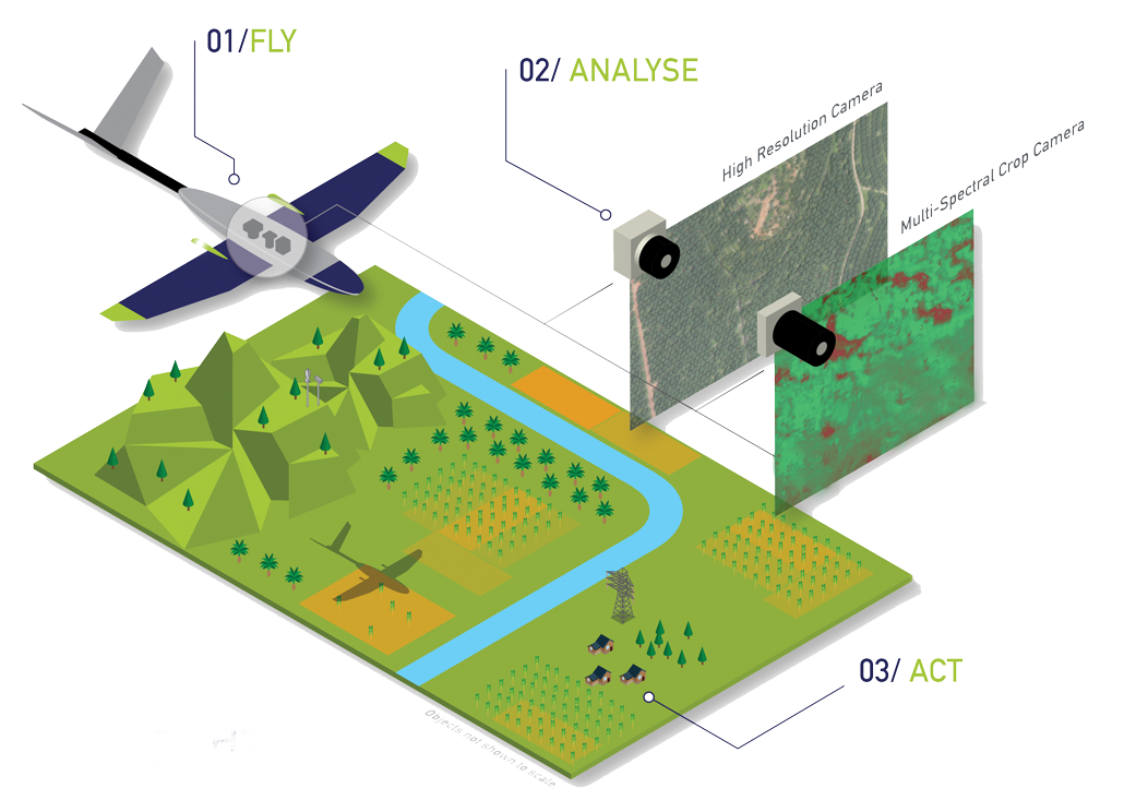
¶ Overview
Forest inventory assessment is the systematic process of measuring, recording, and analysing the attributes of a forest or plantation estate to quantify the volume, species composition, age class distribution, growth rates, and overall condition of the timber resource, providing the foundational data needed for sustainable forest management, yield scheduling, carbon accounting, and regulatory compliance. Traditional inventory relies on statistically designed field sampling, where trained crews establish temporary or permanent sample plots across a forest area and measure individual tree parameters including diameter at breast height (DBH), total and merchantable height, species, form, and health condition; these plot-level measurements are then extrapolated to the broader stand or estate using appropriate statistical estimators. Modern inventory assessment increasingly integrates remote sensing data — including airborne LiDAR, aerial photography, satellite imagery, and UAV-derived point clouds — with ground-based measurements in hybrid approaches that reduce field costs while maintaining or improving the precision of estimates across large, heterogeneous landscapes. Continuous forest inventory (CFI) programs using permanent sample plots allow growth and yield modelling over time, underpinning harvest planning and long-term resource projections. In plantation forestry, inventory is typically more intensive and structured, often incorporating growth models calibrated to specific species and site conditions. In Australia, forest inventory assessment is conducted by state forestry agencies such as Forestry Corporation NSW, Forestry and Land Scotland equivalent bodies, VicForests (prior to its closure), and private plantation managers, and must align with national reporting frameworks including the Montréal Process criteria and indicators for sustainable forest management and Australia's National Greenhouse Gas Inventory for forest carbon reporting. The accuracy and efficiency of inventory assessment directly affects decisions worth billions of dollars in timber royalties, carbon credits, and conservation planning.
¶ Assessment
A useful tool that improves planning and operational oversight through detailed mapping and analytics, with strong potential for risk reduction via early threat detection and better situational awareness.
¶ Details
| Field | Value |
|---|---|
| Company | Insight Robotics |
| Country | Hong Kong |
| Type | Company |
| Employees | ~20 |
| FWPA RD&E | 7.3 |