¶ InSAR, UAV and satellite photogrammetry for predicting forest inventory attributes
| Authors | Innovatek |
| Country | Innovatek News |
| Paper (PDF) | View paper |
| Category | Planning & Inventory › Remote sensing & mapping |
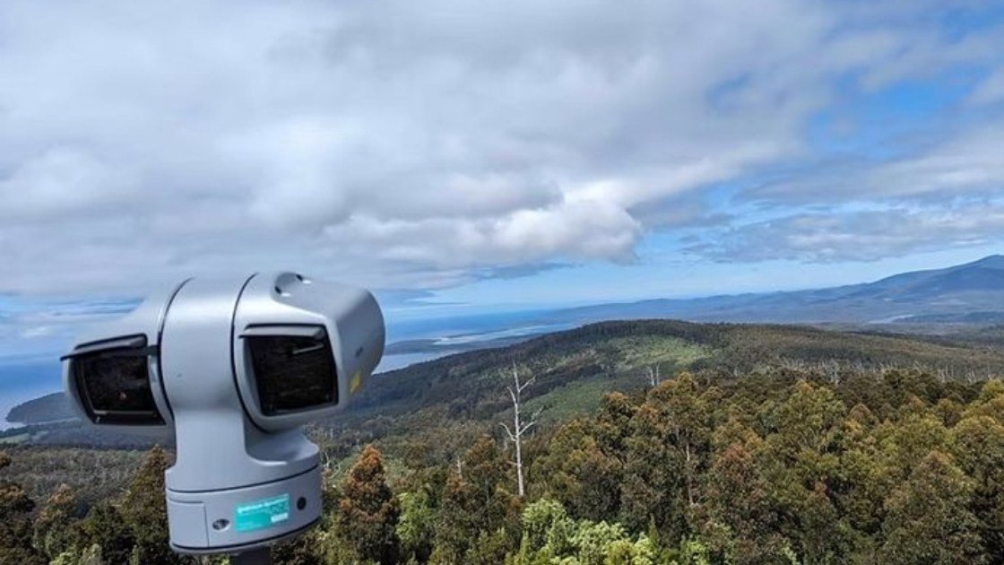
InSAR least expensive, photogrammetry more precise but cant midel terrain
0
¶ Overview
InSAR (Interferometric Synthetic Aperture Radar), UAV-based photogrammetry, and satellite photogrammetry represent a suite of increasingly integrated remote sensing technologies used to predict key forest inventory attributes such as tree height, basal area, stem volume, aboveground biomass, canopy cover, and stand density across large and often inaccessible forest areas. InSAR uses phase differences between two or more SAR images acquired from slightly different positions or times to reconstruct three-dimensional surface models; when applied to forests, the technique can penetrate cloud cover and operate day or night, and platforms such as ESA's Sentinel-1 or NASA-ISRO's NISAR provide repeat-pass data suitable for monitoring forest structural change and disturbance. UAV photogrammetry employs structure-from-motion (SfM) algorithms applied to overlapping imagery captured by low-altitude drones, generating high-resolution point clouds and digital canopy height models that rival airborne LiDAR in spatial detail at the plot or coupe scale, though with limited area coverage per flight. Satellite photogrammetry — using stereo imagery from platforms such as Pleiades, WorldView, or Planet — extends this capability to regional and national scales, enabling wall-to-wall canopy height estimation without the logistical constraints of aircraft or drone deployment. In practice, these data sources are frequently fused and calibrated against field plot measurements or airborne LiDAR reference data to produce statistically robust inventory predictions through area-based approaches or individual tree detection methods. In Australia, these technologies are being adopted by forestry agencies and research organisations such as CSIRO and state governments to support sustainable yield estimation, carbon accounting under the Emissions Reduction Fund, and compliance monitoring in both plantation and native forest sectors, where vast areas and limited ground access make field-only inventory impractical and cost-prohibitive.
¶ Assessment
A highly suitable analytical tool that improves large-scale forest assessment and reduces investment and planning risks through better data quality.
¶ Details
| Field | Value |
|---|---|
| Company | Innovatek |
| Country | Innovatek News |
| Type | Paper |
| Year | 2019 |
| FWPA RD&E | 7.3 |
| Remarks | 0.0 |
| Case Studies | 0 |