¶ Forest sensing and mapping
| Company | Scaffold AI |
| Country | Canada |
| Website | https://www.scaffoldai.com/ |
| Category | Planning & Inventory › Remote sensing & mapping |
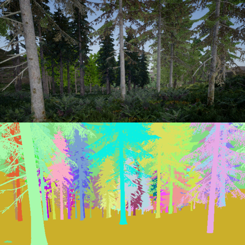
Robotics infrastructure for forest via tree perception, mapping and simulation
¶ Overview
Forest sensing and mapping refers to the broad suite of technologies and methodologies used to acquire spatially referenced measurements of forest structure, composition, and terrain, transforming raw sensor data into actionable maps and three-dimensional models that support inventory, planning, and research. The primary sensing modalities include airborne and terrestrial LiDAR (Light Detection and Ranging), which generates dense point clouds encoding canopy and ground geometry with centimetre-scale precision; multispectral and hyperspectral imaging, which captures reflectance across dozens to hundreds of spectral bands to characterise vegetation health and species composition; synthetic aperture radar (SAR), which penetrates cloud cover and canopy to estimate above-ground biomass and detect surface deformation; and photogrammetric point clouds derived from overlapping imagery captured by UAVs or fixed-wing aircraft using structure-from-motion (SfM) algorithms. Ground-based sensing complements aerial platforms through terrestrial laser scanning (TLS) and mobile laser scanning (MLS) systems that capture sub-canopy structure and individual stem geometry with high fidelity, enabling derivation of diameter at breast height (DBH), stem taper, and branch architecture without manual measurement.
In Australian forestry, airborne LiDAR has become the standard tool for large-area forest mapping across both native forests and softwood and hardwood plantations, with data regularly acquired by state forest agencies and private operators to update digital terrain models, canopy height models, and individual tree maps. Drone-based SfM surveys are increasingly used for high-frequency monitoring of small coupes, nursery stock, and post-harvest regeneration assessment, offering rapid turnaround at lower cost than piloted aircraft. Research institutions including the Australian National University, University of Melbourne, and CSIRO have made significant contributions to algorithms for automated tree segmentation, species classification, and biomass estimation from LiDAR point clouds applied to eucalypt forests and radiata pine plantations. The integration of sensor fusion — combining LiDAR geometry with multispectral radiometry on a single UAV platform — is an active area of development that promises to simultaneously deliver structural and physiological information, substantially reducing the field and airborne data-collection burden for operational forest inventories.
¶ Assessment
Improves decision-making through early detection of operational changes and hazards, offering clear risk-mitigation value.
¶ Details
| Field | Value |
|---|---|
| Company | Scaffold AI |
| Country | Canada |
| Type | Company |
| FWPA RD&E | 7.3 |