¶ Forest scanning using 3D Gaussian splatting (3DGS)
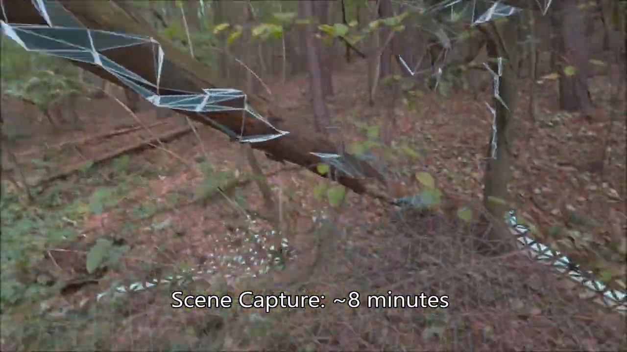
Description: 3D Gaussian Splatting (3DGS) in forests enables high-fidelity, photorealistic, and scalable 3D modeling of complex, natural environments. Using images from drones or ground cameras, this technique creates detailed, navigable 3D models for forestry management, biomass estimation, and conservation. It overcomes traditional, slow photogrammetry and LiDAR limitations.
Category: Forest Modelling, Planning & Decision Support
FWPA RD&E: 7.0
¶ Details
| Company | Country | Type | Website | Available in Australia? | Year | Status | Remarks | TRL | Employees | Colour | Inventors | Patent Model. |
|---|---|---|---|---|---|---|---|---|---|---|---|---|
| Meta Hyperscape | United States | Company | Link | Orange |