¶ Forest Inventory and Biomass Estimation
| Company | Aeroscan |
| Country | India |
| Website | https://aeroscantechnology.com/forestry-solutions/ |
| Category | Planning & Inventory › Remote sensing & mapping |
¶ Overview
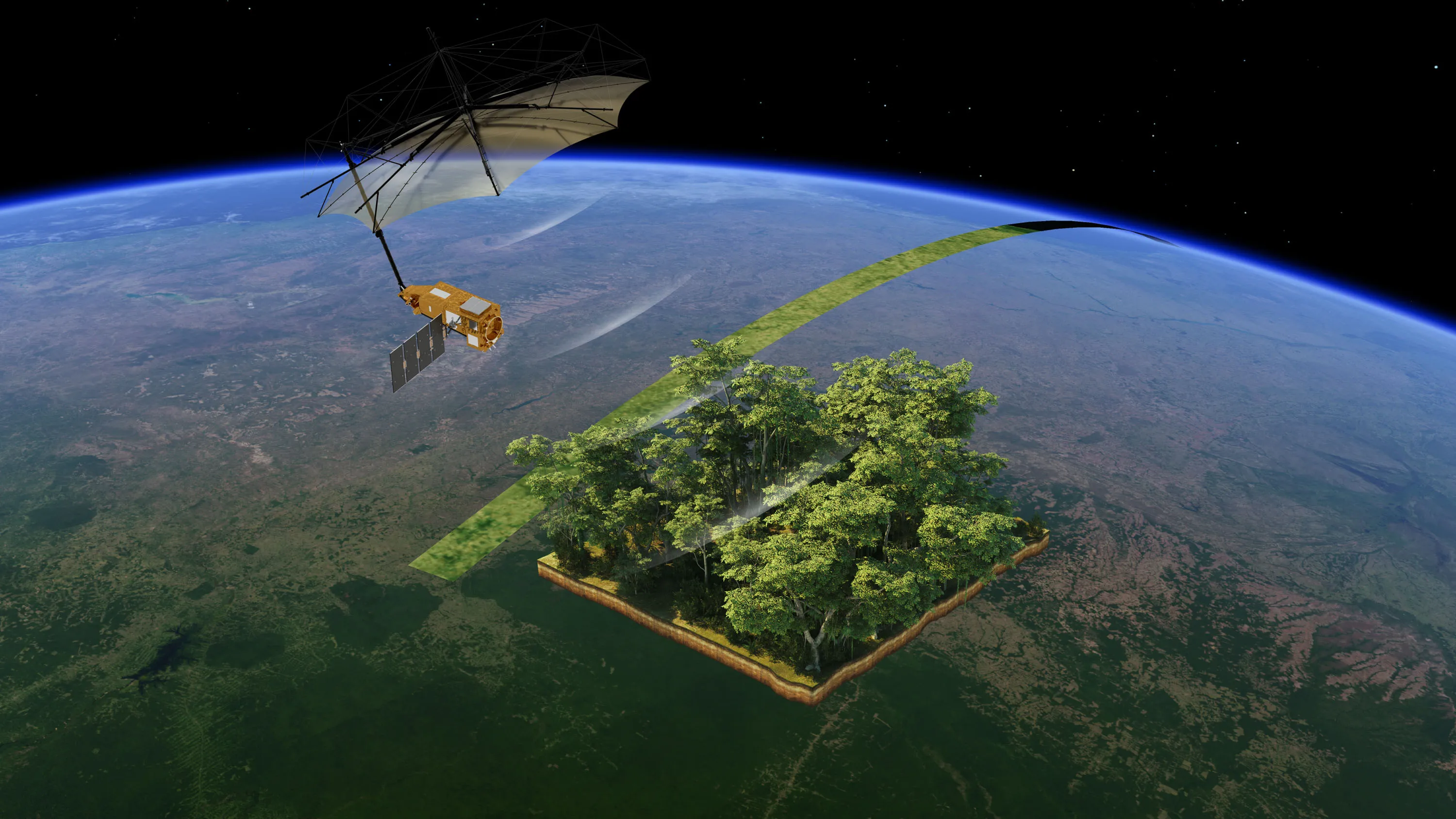
Forest inventory and biomass estimation refers to the combined application of field measurement techniques, allometric modelling, and remote sensing technologies to quantify the total organic matter stored in forest ecosystems — particularly in above-ground woody biomass — for purposes of carbon accounting, timber volume assessment, and ecological research. Above-ground biomass (AGB) is typically estimated by measuring tree diameter at breast height (DBH) and height in sample plots and applying species-specific or generalised allometric equations — empirically derived mathematical relationships that convert easily measured variables into biomass or volume estimates. These field-based approaches provide ground-truth data essential for calibrating and validating remotely sensed biomass products. Remote sensing methods have transformed biomass estimation at regional and global scales: airborne and spaceborne LiDAR measure canopy height and vertical structure with high precision, synthetic aperture radar (SAR) sensors such as those on Sentinel-1 and the ALOS PALSAR-2 satellite are sensitive to forest structure and woody biomass in the microwave spectrum, and optical sensors provide wall-to-wall coverage that can be related to biomass through regression or machine learning models. The ESA BIOMASS satellite, launched in 2024, specifically targets tropical and subtropical forest biomass using P-band SAR. In Australia, accurate biomass estimation is critical for meeting obligations under the Paris Agreement and the national Safeguard Mechanism, as forests represent a major component of the national carbon budget. CSIRO and state forestry agencies have developed Australian-specific allometric equations for eucalypt and acacia species, while commercial plantation managers use inventory data combined with growth models to forecast timber yields and carbon sequestration rates in managed pine and eucalypt estates.
¶ Assessment
A highly capable tool offering extensive monitoring, including biomass, illegal logging, and climate impacts, with strong risk-reduction value across multiple threat types, making it broadly suitable.
¶ Details
| Field | Value |
|---|---|
| Company | Aeroscan |
| Country | India |
| Type | Company |
| FWPA RD&E | 7.3 |