¶ Flyability Elios 3 indoor UAV
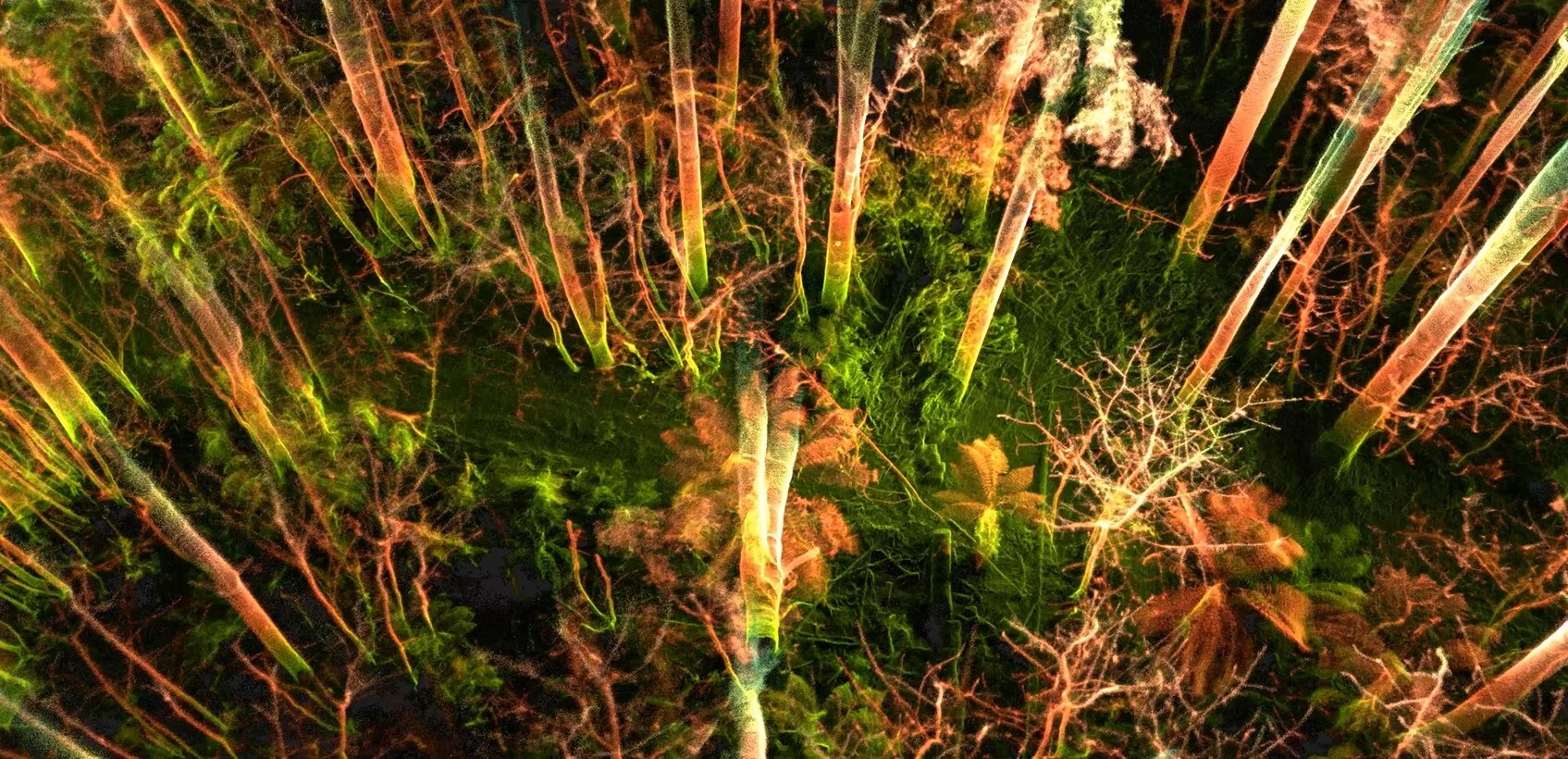
Description: The Elios 3 drone is designed for complex, confined, and GPS-denied environments, making it suitable for specialized, close-proximity forest management rather than broad aerial mapping. Its 3D LiDAR and 4K cameras can map complex structures, potentially enabling detailed, low-altitude inspection of forest floors, dense canopy structures, or mapping within hazardous, obstructed, or post-disaster woody environments.
Key features and potential forestry applications include:
Precise 3D Mapping: The LiDAR payload enables creation of accurate 3D models, useful for mapping, inventorying, or assessing habitat structures in complex forest environments.
Collision Tolerance: The cage design allows safe navigation through thick vegetation or confined, branch-filled spaces that would disable standard drones.
High-Resolution Data: 4K cameras and thermal sensors are valuable for identifying forest health changes, such as tree stress, pest infestation, or environmental monitoring.
Short-Range Operation: With around 12 minutes of flight time, it is intended for targeted, efficient inspections rather than large-area surveys
Category: Remote Sensing, Imaging & Analytics
FWPA RD&E: 7.4
¶ Details
| Company | Country | Type | Website | Available in Australia? | Year | Status | Remarks | TRL | Employees | Colour | Inventors | Patent Model. |
|---|---|---|---|---|---|---|---|---|---|---|---|---|
| Flyability | Switzerland | Company | Link | Red |