¶ FireSense airborne observations over wildfires & prescription burn areas
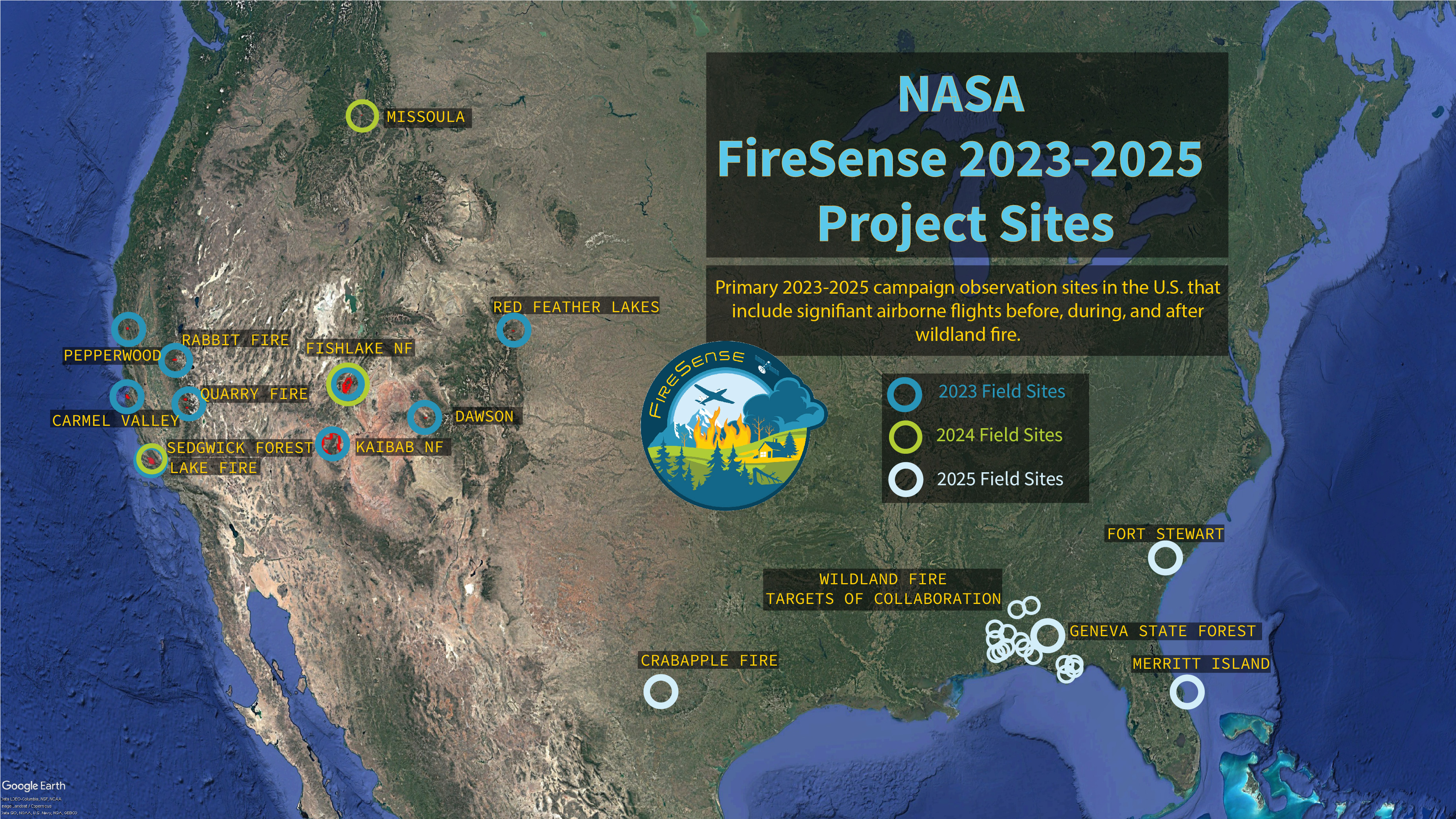
Description: NASA’s FireSense Project conducts airborne observations over wildland fires and prescription burn areas to evaluate and test new instrumentation and collect both remotely-sensed and in situ data that can inform management decisions and improve fire models. The FireSense project is focused on four uses-cases to improve wildfire management. These include the measurement of pre-fire fuels conditions, active fire dynamics, post fire impacts and threats, as well as air quality forecasting, each co-developed with identified wildfire management agency stakeholders. FireSense has a recurring airborne component where the project tests and further develops capabilities and technologies for transfer to stakeholders. A larger airborne campaign will take place during year five of the project (2027-2028) to fully demonstrate the technology developed during FireSense.
Data from the FireSense campaigns will be stored in a FireSense data repository developed by FireSense Implementation Team members at NASA Langley. The platform supports storage for documents, text delimited files (csv), geospatial data (point/polygon, geotiff, netcdf, laz,), as well as providing password protection on a government system.
Category: Wildfire Detection, Monitoring & Suppression
FWPA RD&E: 2.1
¶ Details
| Company | Country | Type | Website | Available in Australia? | Year | Status | Remarks | TRL | Employees | Colour | Inventors | Patent Model. |
|---|---|---|---|---|---|---|---|---|---|---|---|---|
| NASA | United States | Company | Link | Red |