¶ FieldGeo forest inventory services
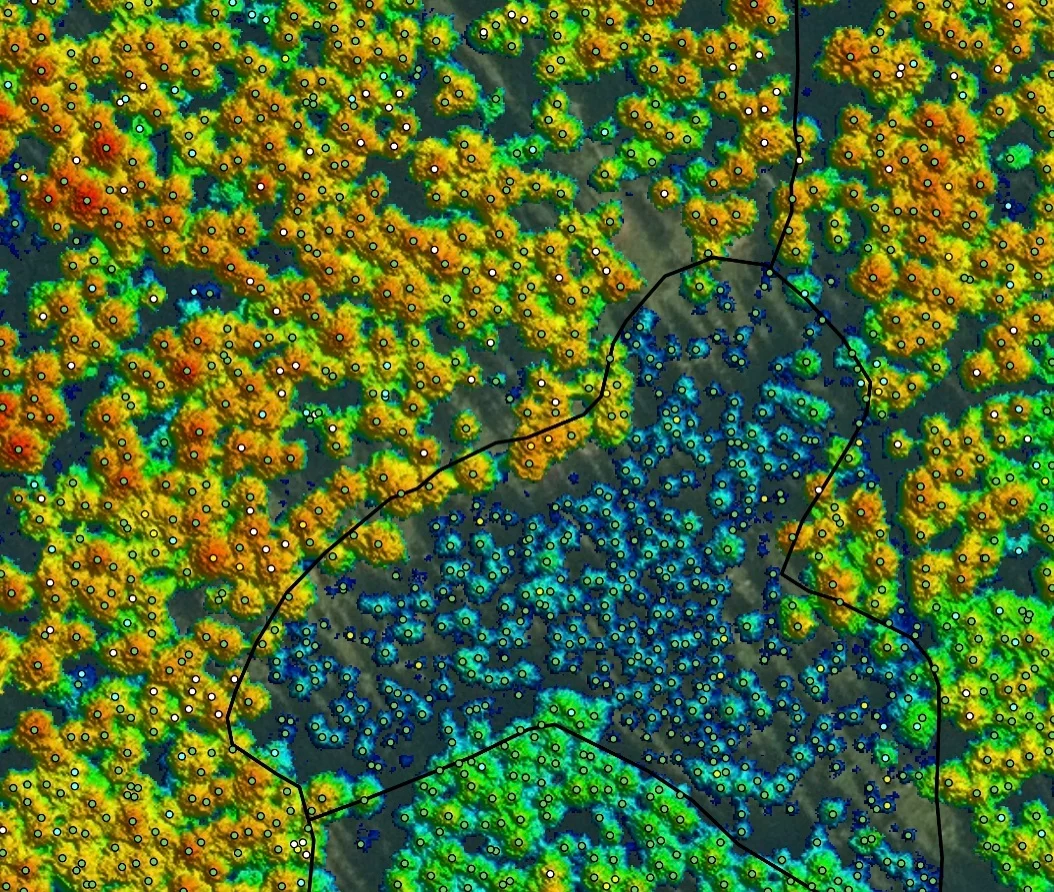
Description: Field Geospatial is a prominent Nordic-based company specializing in forest management, inventory, and data solutions. They use advanced technology—including LiDAR, remote sensing, and AI—to assist with forest planning, sustainability monitoring, and valuation.
Key Services for Forestry:
Forest Inventory & Planning: Field creates detailed forest management plans, which include, among other things, identifying thinning and clearing needs.
Remote Sensing & LiDAR: They produce, calibrate, and use high-resolution LiDAR scanning data and aerial imagery to map forest height, terrain, and vegetation.
Forestry Monitoring: They monitor land preparation, clearing, regeneration felling, and damage (e.g., storms, fires, insects).
Environmental & Biodiversity Surveys: Services include key habitat inventories, species monitoring, vegetation mapping, and ecological landscape plans.
AI and Analytics: They employ deep learning to detect objects in imagery and process data into 3D models.
Field Software (Atlas): They offer "Atlas," a platform designed to collect and manage forest, landscape, and environmental data.
Category: Forest Modelling, Planning & Decision Support
FWPA RD&E: 7.3
¶ Details
| Company | Country | Type | Website | Available in Australia? | Year | Status | Remarks | TRL | Employees | Colour | Inventors | Patent Model. |
|---|---|---|---|---|---|---|---|---|---|---|---|---|
| Field Geo | Norway | Company | Link | ~250 | Green |