¶ EOSDA L&Viewer multispectral imagery
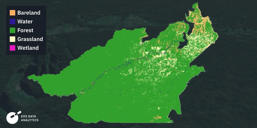
Description: EOSDA Forest Monitoring is an AI-powered satellite analytics solution designed for sustainable forestry management. It enables tracking of forest cover, reforestation, and health while detecting deforestation (legal or illegal) and wildfire damage in near-real-time. The platform leverages multispectral imagery (e.g., Sentinel-1/2, EOS SAT-1) to provide, for example, this online satellite-based software for forestry management created by EOS Data Analytics (EOSDA), actionable data for landowners and organizations.
Key Forest Monitoring Capabilities
Deforestation & Reforestation Tracking: Identifies changes in forest structure, illegal logging, and land clearing, highlighting areas of loss (red) and recovery (green).
Forest Health Monitoring: Analyses vegetation indices to evaluate tree health, with updates often available every eight days.
Wildfire & Risk Management: Enables early fire detection via thermal data and maps burned areas to support recovery efforts.
Individual Stand & Species Monitoring: Allows tracking of specific tree species (e.g., oak, pine) and detailed, individual stand monitoring for, for instance, water stress
Category: Remote Sensing, Imaging & Analytics
FWPA RD&E: 7.3
¶ Details
| Company | Country | Type | Website | Available in Australia? | Year | Status | Remarks | TRL | Employees | Colour | Inventors | Patent Model. |
|---|---|---|---|---|---|---|---|---|---|---|---|---|
| EOS Data Analytics LandViewer | United States | Company | Link | Orange |