¶ Eagle nest supervision
| Company | Iridicium Cloud |
| Country | Australia |
| Website | https://www.indicium.cloud/wedge-tailed-eagle-monitoring |
| Category | Planning & Inventory › Remote sensing & mapping |
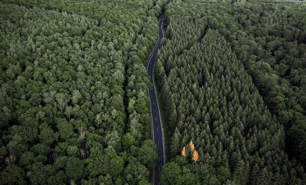
Overlooking known eagle nests to avoid disturbance using LoRaWAN sensor and video camera
¶ Overview
Eagle nest supervision in a forestry and logging context refers to the monitoring, assessment, and management practices applied to the active or historical nests of eagle species — most notably the Wedge-tailed Eagle (Aquila audax) in Australia and the White-bellied Sea-Eagle (Haliaeetus leucogaster) in coastal zones — to ensure that forestry operations comply with environmental regulations, threatened species protection legislation, and biodiversity conservation obligations. Under Australian federal and state environmental law, including the Environment Protection and Biodiversity Conservation Act 1999 (EPBC Act) and relevant state equivalents, disturbance to active eagle nests or their immediate surrounds during the breeding season can constitute a legal offence and may trigger operational shutdowns or coupe exclusions. Nest supervision programmes typically involve pre-harvest surveys by qualified ecologists to locate and map nests within or adjacent to proposed harvest areas, followed by the establishment of exclusion zones — commonly with radii of 200 to 500 metres around active nests, depending on species and jurisdiction — within which machinery operations are prohibited or restricted during the breeding season. Where nests are present, ongoing supervision may include periodic site visits or the deployment of remote camera traps and acoustic monitoring devices to detect occupancy and breeding activity without requiring ecologist attendance. More recently, drone-based nest inspections have been adopted to reduce disturbance to sensitive breeding pairs during the assessment phase. In the broader context of forestry automation, integration of nest location data and monitoring outputs into digital harvest planning platforms allows exclusion zones to be automatically incorporated into machine guidance systems and coupe boundary files, reducing the risk of inadvertent regulatory breaches by harvester operators working in complex terrain with limited visibility of map boundaries.
¶ Details
| Field | Value |
|---|---|
| Company | Iridicium Cloud |
| Country | Australia |
| Type | Company |