¶ Backpack LiDAR scanner
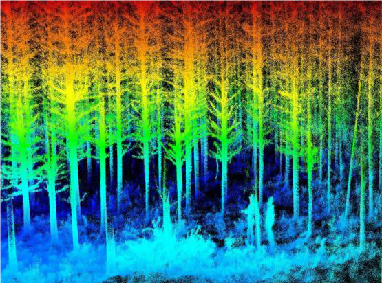
Description: The objective of the research is to develop a terrestrial system/platform and biometrics extraction algorithms for fine-detail, automated measurements and trait characterization for forest plantations. The system is based on an integrated RGB camera, LiDAR, and Global Positioning System/Inertial Navigation Systems (GPS/INS) units. The integrated sensors can be mounted onboard a backpack or an all-terrain vehicle.
Optimize system integration, data logging, and deployment.
Develop data processing and biometrics extraction algorithms.
Share tools and methods with HTIRC researchers and stakeholders in trainings and workshops.
Category: Remote Sensing, Imaging & Analytics
FWPA RD&E: 7.3
¶ Details
| Company | Country | Type | Website | Available in Australia? | Year | Status | Remarks | TRL | Employees | Colour | Inventors | Patent Model. |
|---|---|---|---|---|---|---|---|---|---|---|---|---|
| Purdue University | USA | Company | Link | Red |