¶ 3D Gaussian splatting (3DGS)
| Company | Meta Hyperscape |
| Country | United States |
| Website | https://www.youtube.com/watch?v=MXLMNAfPXKU |
| Category | Planning & Inventory › Remote sensing & mapping |
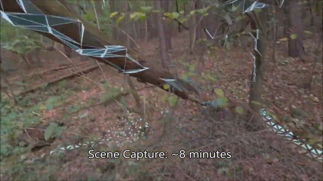
Gaussian Splatting of forests for VR/DT
¶ Overview
3D Gaussian Splatting (3DGS) is a novel scene representation and real-time rendering technique introduced by Kerbl et al. in 2023 that has rapidly attracted attention across computer vision, robotics, and environmental remote sensing, including forestry applications. Unlike neural radiance fields (NeRF), which represent scenes implicitly through neural network weights and require per-pixel ray marching at render time, 3DGS represents a scene as a collection of millions of anisotropic 3D Gaussian primitives — each defined by a position, covariance (shape and orientation), opacity, and spherical harmonic colour coefficients — which are splatted (projected) onto image planes for rasterisation. This approach achieves rendering speeds orders of magnitude faster than NeRF while maintaining comparable or superior visual fidelity, making it suitable for real-time applications. Training a 3DGS model typically begins from a sparse point cloud produced by Structure-from-Motion (SfM) applied to a set of overlapping photographs or video frames, from which the Gaussians are iteratively optimised by comparing rendered views against the input images. In forestry and ecological remote sensing, 3DGS has attracted interest as a tool for reconstructing complex forest canopy structure from UAV imagery or terrestrial photo sets, potentially offering a faster and more deployable alternative to LiDAR for individual tree mensuration, canopy gap analysis, and forest health assessment. Its ability to capture fine-scale geometric and radiometric detail — including semi-transparent foliage and the complex light scattering of dense canopies — makes it particularly well-suited to environments where conventional photogrammetry struggles. Australian research groups and startups are beginning to explore 3DGS for plantation inventory and native forest structural assessment, leveraging the increasing availability of high-resolution drone imagery. Challenges remain around scalability to large forested areas, handling dynamic elements such as wind-moved foliage, and extracting quantitative dendrometric measurements from the Gaussian representation.
¶ Assessment
Offers visualisation and planning potential but has minimal direct impact on productivity or risk reduction, making it more of an enabling graphics technology.
¶ Details
| Field | Value |
|---|---|
| Company | Meta Hyperscape |
| Country | United States |
| Type | Company |
| FWPA RD&E | 7.0 |